Distance to McCredie Springs, Oregon

Calculating Your Route
Just a moment while we process your request...
Location Information
-
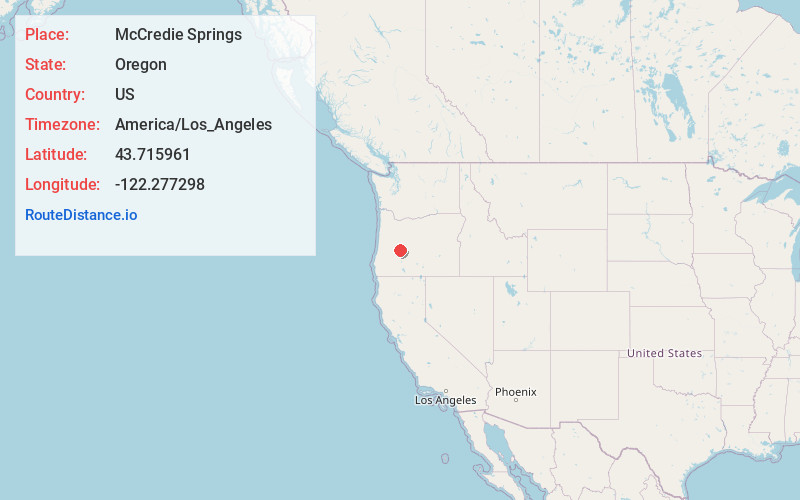
Full AddressMcCredie Springs, OR
-
Coordinates43.715961, -122.277298
-
LocationMcCredie Springs , Oregon , US
-
TimezoneAmerica/Los_Angeles
-
Current Local Time2:22:17 AM America/Los_AngelesSaturday, June 21, 2025
-
Page Views0
About McCredie Springs
McCredie Springs is a hot springs and a former resort in Lane County, Oregon, United States. It is located near Oregon Route 58, 10.7 miles east of Oakridge, and 50.7 miles east of Eugene, within the Willamette National Forest. It is known for the nearby natural hot springs along Salt Creek.


Nearby Places
Found 10 places within 50 miles

Oakridge
9.4 mi
15.1 km
Oakridge, OR
Get directions

Westfir
11.3 mi
18.2 km
Westfir, OR 97492
Get directions

Crescent Lake
22.2 mi
35.7 km
Crescent Lake, Oregon 97733
Get directions

Potter Mountain
24.5 mi
39.4 km
Potter Mountain, Oregon 97447
Get directions

Disston
24.6 mi
39.6 km
Disston, OR 97434
Get directions
Winberry
27.1 mi
43.6 km
Winberry, OR 97438
Get directions
Wildwood
27.7 mi
44.6 km
Wildwood, OR 97434
Get directions

Culp Creek
28.1 mi
45.2 km
Culp Creek, OR 97434
Get directions

Nimrod
28.4 mi
45.7 km
Nimrod, OR 97488
Get directions

Lowell
28.9 mi
46.5 km
Lowell, OR 97452
Get directions
Location Links
Local Weather
Weather Information
Coming soon!
Location Map
Static map view of McCredie Springs, Oregon
Browse Places by Distance
Places within specific distances from McCredie Springs
Short Distances
Long Distances
Click any distance to see all places within that range from McCredie Springs. Distances shown in miles (1 mile ≈ 1.61 kilometers).