Distance to Nimrod, Oregon

Calculating Your Route
Just a moment while we process your request...
Location Information
-
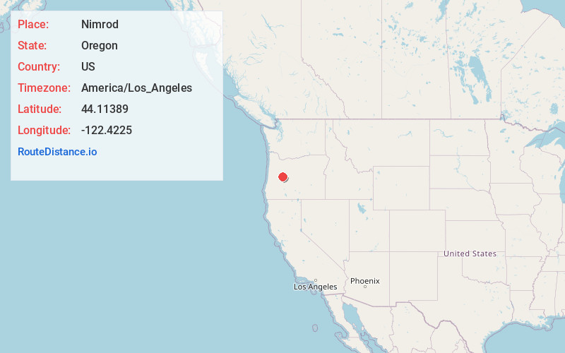
Full AddressNimrod, OR 97488
-
Coordinates44.11389, -122.4225
-
LocationNimrod , Oregon , US
-
TimezoneAmerica/Los_Angeles
-
Current Local Time2:58:48 PM America/Los_AngelesThursday, June 19, 2025
-
Page Views0
About Nimrod
Nimrod is an unincorporated community in Lane County, Oregon, United States, on the McKenzie River. It is located along Oregon Route 126, between Vida and Blue River, 35 miles east of Eugene, in the Willamette National Forest. As of 2003, its population was roughly 190.


Nearby Places
Found 10 places within 50 miles

Rainbow
10.0 mi
16.1 km
Rainbow, OR 97413
Get directions

Cascadia
19.8 mi
31.9 km
Cascadia, OR
Get directions

Marcola
22.0 mi
35.4 km
Marcola, OR
Get directions

Lowell
22.5 mi
36.2 km
Lowell, OR 97452
Get directions

Dexter
24.1 mi
38.8 km
Dexter, OR 97431
Get directions

Holley
24.4 mi
39.3 km
Holley, OR 97386
Get directions

Trent
24.8 mi
39.9 km
Trent, OR
Get directions

Westfir
24.9 mi
40.1 km
Westfir, OR 97492
Get directions

Sweet Home
25.0 mi
40.2 km
Sweet Home, OR
Get directions
Jasper
25.4 mi
40.9 km
Jasper, OR
Get directions
Location Links
Local Weather
Weather Information
Coming soon!
Location Map
Static map view of Nimrod, Oregon
Browse Places by Distance
Places within specific distances from Nimrod
Short Distances
Long Distances
Click any distance to see all places within that range from Nimrod. Distances shown in miles (1 mile ≈ 1.61 kilometers).