Distance to Rainbow, Oregon

Calculating Your Route
Just a moment while we process your request...
Location Information
-
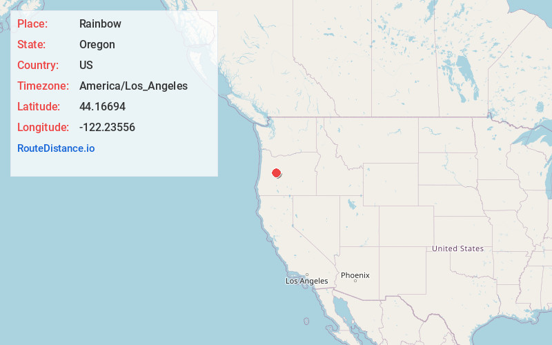
Full AddressRainbow, OR 97413
-
Coordinates44.1669399, -122.23556
-
LocationRainbow , Oregon , US
-
TimezoneAmerica/Los_Angeles
-
Current Local Time12:44:55 AM America/Los_AngelesSaturday, May 31, 2025
-
Page Views0
About Rainbow
Rainbow is an unincorporated community in Lane County, Oregon, United States. It lies off Oregon Route 126, northeast of Eugene. A post office was established on July 1, 1924, and closed August 31, 1937. The post office got its name from the rainbow trout that swim in the McKenzie River.


Nearby Places
Found 10 places within 50 miles

Cascadia
20.1 mi
32.3 km
Cascadia, OR
Get directions

Sweet Home
29.5 mi
47.5 km
Sweet Home, OR
Get directions

Holley
30.1 mi
48.4 km
Holley, OR 97386
Get directions

Marcola
30.9 mi
49.7 km
Marcola, OR
Get directions

Westfir
31.1 mi
50.1 km
Westfir, OR 97492
Get directions

Oakridge
31.2 mi
50.2 km
Oakridge, OR
Get directions

Lowell
32.2 mi
51.8 km
Lowell, OR 97452
Get directions

Black Butte Ranch
32.3 mi
52.0 km
Black Butte Ranch, OR
Get directions

Crawfordsville
33.5 mi
53.9 km
Crawfordsville, OR
Get directions

Dexter
33.9 mi
54.6 km
Dexter, OR 97431
Get directions
Location Links
Local Weather
Weather Information
Coming soon!
Location Map
Static map view of Rainbow, Oregon
Browse Places by Distance
Places within specific distances from Rainbow
Short Distances
Long Distances
Click any distance to see all places within that range from Rainbow. Distances shown in miles (1 mile ≈ 1.61 kilometers).