Distance to McElhany, Missouri

Calculating Your Route
Just a moment while we process your request...
Location Information
-
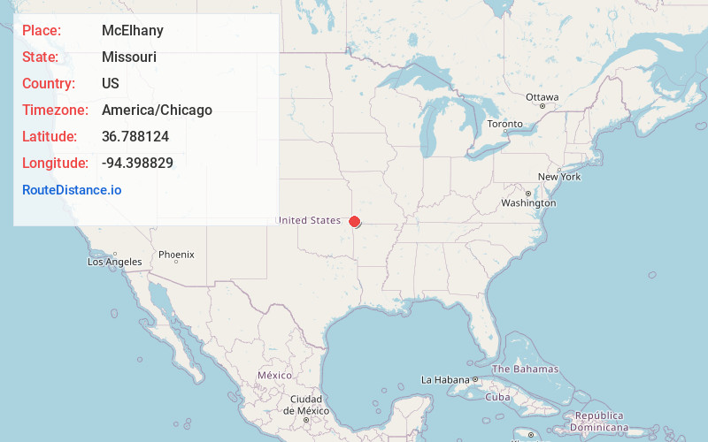
Full AddressMcElhany, West Benton Township, MO 64843
-
Coordinates36.7881241, -94.3988286
-
LocationWest Benton Township , Missouri , US
-
TimezoneAmerica/Chicago
-
Current Local Time11:33:23 PM America/ChicagoSunday, June 22, 2025
-
Page Views0
Nearby Places
Found 10 places within 50 miles

Goodman
3.5 mi
5.6 km
Goodman, MO 64843
Get directions
Kelley Springs
5.2 mi
8.4 km
Kelley Springs, Anderson East Township, MO 64843
Get directions

Neosho
5.8 mi
9.3 km
Neosho, MO 64850
Get directions
Belfast
6.2 mi
10.0 km
Belfast, MO 64850
Get directions
Elliff
6.5 mi
10.5 km
Elliff, MO 64843
Get directions
Dessa
6.9 mi
11.1 km
Dessa, Buffalo Township, MO
Get directions
Monark Springs
7.8 mi
12.6 km
Monark Springs, MO 64850
Get directions

Anderson
9.8 mi
15.8 km
Anderson, MO 64831
Get directions

Stella
11.6 mi
18.7 km
Stella, MO 64867
Get directions

Granby
12.0 mi
19.3 km
Granby, MO 64844
Get directions
Location Links
Local Weather
Weather Information
Coming soon!
Location Map
Static map view of McElhany, Missouri
Browse Places by Distance
Places within specific distances from McElhany
Short Distances
Long Distances
Click any distance to see all places within that range from McElhany. Distances shown in miles (1 mile ≈ 1.61 kilometers).