Distance to McRae, Virginia

Calculating Your Route
Just a moment while we process your request...
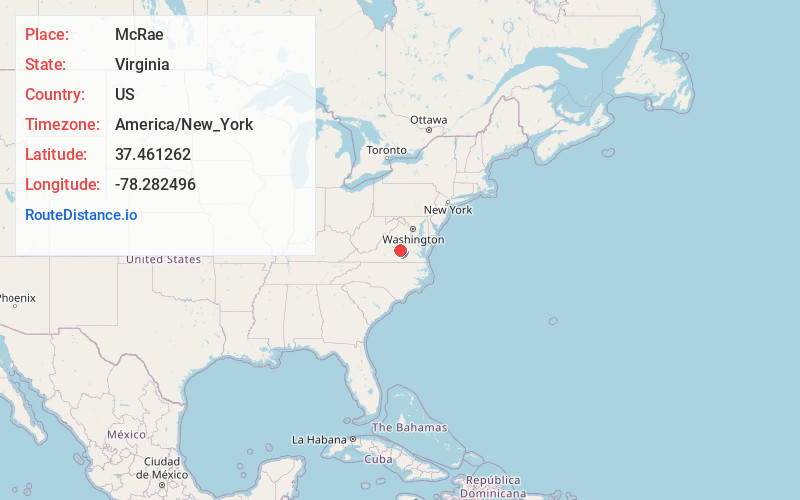
Location Information
-
Full AddressMcRae, VA 23040
-
Coordinates37.461262, -78.2824961
-
LocationVirginia , US
-
TimezoneAmerica/New_York
-
Current Local Time3:27:17 AM America/New_YorkWednesday, June 18, 2025
-
Page Views0
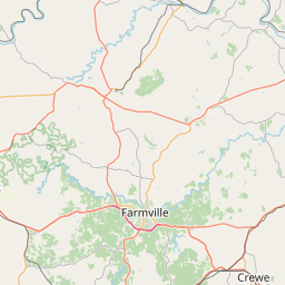
About McRae
McRae is an unincorporated community in Cumberland County, in the U.S. state of Virginia. McRae was a stop on the Farmville and Powhatan Railroad from 1884 to 1905 and then on the Tidewater and Western Railroad from 1905 to 1917.
Nearby Places
Found 10 places within 50 miles

Cumberland
3.2 mi
5.1 km
Cumberland, VA 23040
Get directions

Hatcher
7.0 mi
11.3 km
Hatcher, VA 23936
Get directions
Rodophil
9.5 mi
15.3 km
Rodophil, VA 23083
Get directions
Curdsville
10.0 mi
16.1 km
Curdsville, VA 23901
Get directions
Reeds
10.8 mi
17.4 km
Reeds, VA 23901
Get directions
Alpha
11.1 mi
17.9 km
Alpha, VA 23936
Get directions
Dillwyn
11.1 mi
17.9 km
Dillwyn, VA 23936
Get directions
Whiteville
11.8 mi
19.0 km
Whiteville, VA 23027
Get directions

Leaflet © OpenStreetMap contributors
Location Links
Local Weather
Weather Information
Coming soon!
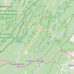
Location Map
Static map view of McRae, Virginia
Browse Places by Distance
Places within specific distances from McRae
Short Distances
Long Distances
Click any distance to see all places within that range from McRae. Distances shown in miles (1 mile ≈ 1.61 kilometers).