Distance to Rodophil, Virginia

Calculating Your Route
Just a moment while we process your request...
Location Information
-
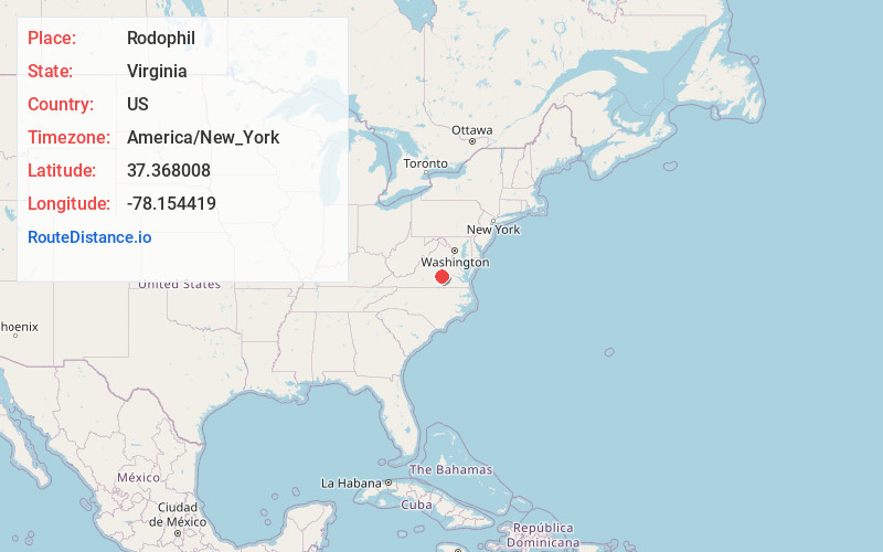
Full AddressRodophil, VA 23083
-
Coordinates37.368008, -78.154419
-
LocationRodophil , Virginia , US
-
TimezoneAmerica/New_York
-
Current Local Time2:08:45 AM America/New_YorkSaturday, June 7, 2025
-
Page Views0
About Rodophil
Rodophil is a rural unincorporated community in western Amelia County in the U.S. state of Virginia. It is located in Leigh District at the intersection of SR 616 and the southern terminus of SR 620. It straddles the border of ZIP codes 23002 and 23083.
Nearby Places
Found 10 places within 50 miles

Haw Branch
7.9 mi
12.7 km
Haw Branch, VA 23002
Get directions

Cumberland
10.2 mi
16.4 km
Cumberland, VA 23040
Get directions
Moran
11.3 mi
18.2 km
Moran, VA 23922
Get directions

Sandy River Reservoir
12.4 mi
20.0 km
Sandy River Reservoir, Virginia
Get directions

Burkeville
12.7 mi
20.4 km
Burkeville, VA 23922
Get directions

Crewe
13.6 mi
21.9 km
Crewe, VA 23930
Get directions

Farmville
13.8 mi
22.2 km
Farmville, VA 23901
Get directions
Macon
15.0 mi
24.1 km
Macon, VA 23139
Get directions
Hatcher
15.6 mi
25.1 km
Hatcher, VA 23936
Get directions
Mattoax
16.0 mi
25.7 km
Mattoax, VA 23002
Get directions
Location Links
Local Weather
Weather Information
Coming soon!
Location Map
Static map view of Rodophil, Virginia
Browse Places by Distance
Places within specific distances from Rodophil
Short Distances
Long Distances
Click any distance to see all places within that range from Rodophil. Distances shown in miles (1 mile ≈ 1.61 kilometers).