Distance to Means, Kentucky

Calculating Your Route
Just a moment while we process your request...
Location Information
-
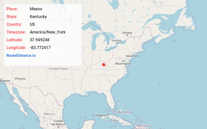
Full AddressMeans, KY 40322
-
Coordinates37.9492479, -83.7724166
-
LocationMeans , Kentucky , US
-
TimezoneAmerica/New_York
-
Current Local Time10:12:01 AM America/New_YorkTuesday, June 24, 2025
-
Page Views0
About Means
Means is an unincorporated community in Menifee County, Kentucky, United States. It lies along U.S. Route 460 and Kentucky Route 713, west of the city of Frenchburg, the county seat of Menifee County. Its elevation is 850 feet. It has a post office with the ZIP code 40346.
Nearby Places
Found 10 places within 50 miles

Lucky Stop
2.5 mi
4.0 km
Lucky Stop, Jeffersonville, KY 40337
Get directions

Jeffersonville
4.1 mi
6.6 km
Jeffersonville, KY 40337
Get directions
Upper Spencer
6.9 mi
11.1 km
Upper Spencer, KY 40353
Get directions

Camargo
7.0 mi
11.3 km
Camargo, KY 40353
Get directions
Bowen
7.5 mi
12.1 km
Bowen, KY 40380
Get directions

Frenchburg
8.0 mi
12.9 km
Frenchburg, KY
Get directions
Peeled Oak Creek
8.5 mi
13.7 km
Peeled Oak Creek, Kentucky 40360
Get directions

Stanton
8.6 mi
13.8 km
Stanton, KY 40380
Get directions
Howards Mill
8.9 mi
14.3 km
Howards Mill, KY 40353
Get directions
Levee
9.0 mi
14.5 km
Levee, KY 40353
Get directions
Location Links
Local Weather
Weather Information
Coming soon!
Location Map
Static map view of Means, Kentucky
Browse Places by Distance
Places within specific distances from Means
Short Distances
Long Distances
Click any distance to see all places within that range from Means. Distances shown in miles (1 mile ≈ 1.61 kilometers).