Distance to Levee, Kentucky

Calculating Your Route
Just a moment while we process your request...
Location Information
-
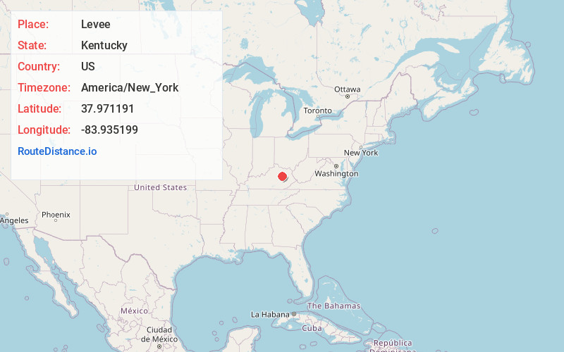
Full AddressLevee, KY 40353
-
Coordinates37.9711913, -83.9351992
-
LocationKentucky , US
-
TimezoneAmerica/New_York
-
Current Local Time2:18:58 AM America/New_YorkThursday, June 19, 2025
-
Page Views0
Nearby Places
Found 10 places within 50 miles

Camargo
3.0 mi
4.8 km
Camargo, KY 40353
Get directions

Kiddville
3.2 mi
5.1 km
Kiddville, KY 40391
Get directions
Westbend
4.9 mi
7.9 km
Westbend, KY 40312
Get directions

Jeffersonville
5.1 mi
8.2 km
Jeffersonville, KY 40337
Get directions
Reid Village
5.9 mi
9.5 km
Reid Village, KY 40353
Get directions

Mt Sterling
5.9 mi
9.5 km
Mt Sterling, KY 40353
Get directions
Virden
6.3 mi
10.1 km
Virden, KY 40312
Get directions
Rabbit Town
6.3 mi
10.1 km
Rabbit Town, KY 40391
Get directions
Upper Spencer
6.3 mi
10.1 km
Upper Spencer, KY 40353
Get directions
Lucky Stop
6.6 mi
10.6 km
Lucky Stop, Jeffersonville, KY 40337
Get directions
Location Links
Local Weather
Weather Information
Coming soon!
Location Map
Static map view of Levee, Kentucky
Browse Places by Distance
Places within specific distances from Levee
Short Distances
Long Distances
Click any distance to see all places within that range from Levee. Distances shown in miles (1 mile ≈ 1.61 kilometers).