Distance to Meloland, California

Calculating Your Route
Just a moment while we process your request...
Location Information
-
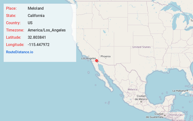
Full AddressMeloland, CA 92250
-
Coordinates32.8038413, -115.4479722
-
LocationMeloland , California , US
-
TimezoneAmerica/Los_Angeles
-
Current Local Time1:49:52 PM America/Los_AngelesThursday, June 19, 2025
-
Page Views0
About Meloland
Meloland is an unincorporated rural community in Imperial County, California. It is located on the Holton Interurban Railroad east of El Centro and 4 miles west of Holtville. Prior to settlement, the location was known as Gleason or Gleason Switch.
Nearby Places
Found 10 places within 50 miles

Holtville
4.0 mi
6.4 km
Holtville, CA 92250
Get directions

El Centro
6.7 mi
10.8 km
El Centro, CA
Get directions

Heber
6.9 mi
11.1 km
Heber, CA 92249
Get directions

Imperial
7.7 mi
12.4 km
Imperial, CA
Get directions

Calexico
9.1 mi
14.6 km
Calexico, CA
Get directions

Alamorio
12.1 mi
19.5 km
Alamorio, CA 92227
Get directions
Orita
12.2 mi
19.6 km
Orita, CA 92227
Get directions

Brawley
13.0 mi
20.9 km
Brawley, CA 92227
Get directions
Moss
13.6 mi
21.9 km
Moss, CA 92227
Get directions

Mt Signal
14.1 mi
22.7 km
Mt Signal, CA 92231
Get directions
Location Links
Local Weather
Weather Information
Coming soon!
Location Map
Static map view of Meloland, California
Browse Places by Distance
Places within specific distances from Meloland
Short Distances
Long Distances
Click any distance to see all places within that range from Meloland. Distances shown in miles (1 mile ≈ 1.61 kilometers).