Distance to and from Melvin, Michigan
Melvin, MI 48454
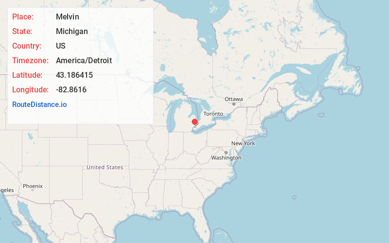
Melvin
Michigan
US
America/Detroit
Location Information
-
Full AddressMelvin, MI 48454
-
Coordinates43.1864147, -82.8616
-
LocationMelvin , Michigan , US
-
TimezoneAmerica/Detroit
-
Current Local Time4:39:08 AM America/DetroitSunday, May 4, 2025
-
Page Views0
Directions to Nearest Cities
About Melvin
Melvin is a village in Sanilac County in the U.S. state of Michigan. The population was 148 at the 2020 census. The village is within Speaker Township, and is located within the Thumb Region of Michigan.
Nearby Places
Found 10 places within 50 miles

Yale
5.0 mi
8.0 km
Yale, MI 48097
Get directions

Peck
5.5 mi
8.9 km
Peck, MI 48466
Get directions

Brown City
6.7 mi
10.8 km
Brown City, MI 48416
Get directions

Capac
12.6 mi
20.3 km
Capac, MI 48014
Get directions

Croswell
13.6 mi
21.9 km
Croswell, MI 48422
Get directions

Emmett
14.4 mi
23.2 km
Emmett, MI 48022
Get directions

Marlette
14.7 mi
23.7 km
Marlette, MI 48453
Get directions

Imlay City
15.6 mi
25.1 km
Imlay City, MI 48444
Get directions

Ruby
16.2 mi
26.1 km
Ruby, MI 48049
Get directions

Applegate
16.2 mi
26.1 km
Applegate, MI 48401
Get directions
Yale
5.0 mi
8.0 km
Yale, MI 48097
Peck
5.5 mi
8.9 km
Peck, MI 48466
Brown City
6.7 mi
10.8 km
Brown City, MI 48416
Capac
12.6 mi
20.3 km
Capac, MI 48014
Croswell
13.6 mi
21.9 km
Croswell, MI 48422
Emmett
14.4 mi
23.2 km
Emmett, MI 48022
Marlette
14.7 mi
23.7 km
Marlette, MI 48453
Imlay City
15.6 mi
25.1 km
Imlay City, MI 48444
Ruby
16.2 mi
26.1 km
Ruby, MI 48049
Applegate
16.2 mi
26.1 km
Applegate, MI 48401
Location Links
Local Weather
Weather Information
Coming soon!
Location Map
Static map view of Melvin, Michigan
Browse Places by Distance
Places within specific distances from Melvin
Short Distances
Long Distances
Click any distance to see all places within that range from Melvin. Distances shown in miles (1 mile ≈ 1.61 kilometers).