Distance to Mendes, Georgia

Calculating Your Route
Just a moment while we process your request...
Location Information
-
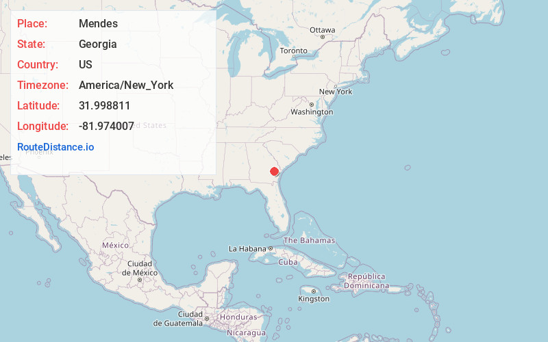
Full AddressMendes, GA 30427
-
Coordinates31.9988109, -81.9740068
-
LocationMendes , Georgia , US
-
TimezoneAmerica/New_York
-
Current Local Time1:56:14 PM America/New_YorkWednesday, June 18, 2025
-
Page Views0
About Mendes
Mendes is a census-designated place and unincorporated community in Tattnall County, Georgia, United States. Its population was 124 as of the 2020 census. Georgia State Route 169 passes through the community.
Nearby Places
Found 10 places within 50 miles

Glennville
5.1 mi
8.2 km
Glennville, GA 30427
Get directions

Reidsville
10.4 mi
16.7 km
Reidsville, GA
Get directions

Hagan
11.2 mi
18.0 km
Hagan, GA 30417
Get directions

Claxton
12.0 mi
19.3 km
Claxton, GA 30417
Get directions

Daisy
13.3 mi
21.4 km
Daisy, GA
Get directions

Collins
14.9 mi
24.0 km
Collins, GA 30421
Get directions

Gumbranch
20.3 mi
32.7 km
Gumbranch, GA 31313
Get directions
Cobbtown
21.7 mi
34.9 km
Cobbtown, GA 30420
Get directions

Pembroke
22.7 mi
36.5 km
Pembroke, GA 31321
Get directions

Surrency
23.1 mi
37.2 km
Surrency, GA 31563
Get directions
Location Links
Local Weather
Weather Information
Coming soon!
Location Map
Static map view of Mendes, Georgia
Browse Places by Distance
Places within specific distances from Mendes
Short Distances
Long Distances
Click any distance to see all places within that range from Mendes. Distances shown in miles (1 mile ≈ 1.61 kilometers).