Distance to Reidsville, Georgia

Calculating Your Route
Just a moment while we process your request...
Location Information
-
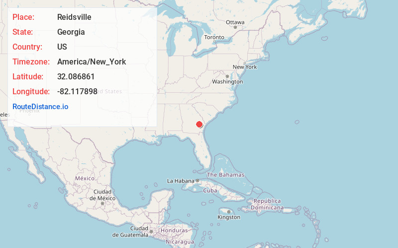
Full AddressReidsville, GA
-
Coordinates32.0868611, -82.1178978
-
LocationReidsville , Georgia , US
-
TimezoneAmerica/New_York
-
Current Local Time8:08:21 PM America/New_YorkSunday, June 8, 2025
-
Page Views0
About Reidsville
Reidsville is a city in, and county seat of, Tattnall County, Georgia. The population was 2,515 in 2020. The Georgia State Prison is near Reidsville.


Nearby Places
Found 10 places within 50 miles

Claxton
13.5 mi
21.7 km
Claxton, GA 30417
Get directions

Lyons
14.4 mi
23.2 km
Lyons, GA 30436
Get directions

Glennville
15.2 mi
24.5 km
Glennville, GA 30427
Get directions

Vidalia
19.5 mi
31.4 km
Vidalia, GA
Get directions

Metter
21.7 mi
34.9 km
Metter, GA 30439
Get directions

Baxley
25.2 mi
40.6 km
Baxley, GA 31513
Get directions

Pembroke
29.2 mi
47.0 km
Pembroke, GA 31321
Get directions

Hazlehurst
31.7 mi
51.0 km
Hazlehurst, GA 31539
Get directions

Statesboro
31.7 mi
51.0 km
Statesboro, GA
Get directions

Fort Stewart
33.4 mi
53.8 km
Fort Stewart, GA
Get directions
Location Links
Local Weather
Weather Information
Coming soon!
Location Map
Static map view of Reidsville, Georgia
Browse Places by Distance
Places within specific distances from Reidsville
Short Distances
Long Distances
Click any distance to see all places within that range from Reidsville. Distances shown in miles (1 mile ≈ 1.61 kilometers).