Distance to Merlin, California

Calculating Your Route
Just a moment while we process your request...
Location Information
-
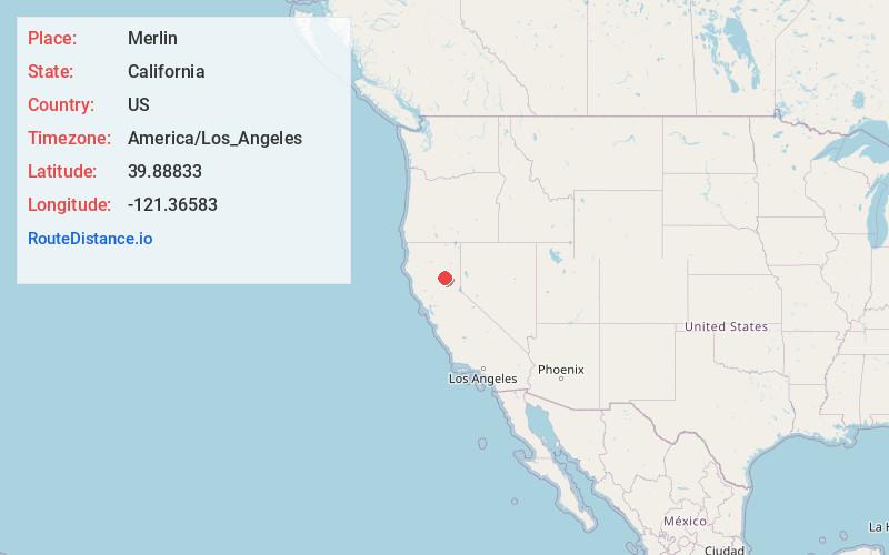
Full AddressMerlin, CA
-
Coordinates39.88833, -121.36583
-
LocationMerlin , California , US
-
TimezoneAmerica/Los_Angeles
-
Current Local Time4:37:54 PM America/Los_AngelesThursday, June 19, 2025
-
Page Views0
About Merlin
Merlin is a siding and former water stop of the Western Pacific Railroad, located along the Feather River in Plumas County, California. It lies at an elevation of 1,765 feet, southwest of Storrie.


Nearby Places
Found 10 places within 50 miles

Cresta
3.7 mi
6.0 km
Cresta, CA 95965
Get directions

Tobin
4.6 mi
7.4 km
Tobin, CA 95915
Get directions
Mayaro
5.4 mi
8.7 km
Mayaro, CA 95965
Get directions

Pulga
7.4 mi
11.9 km
Pulga, CA 95965
Get directions

Stirling City
8.7 mi
14.0 km
Stirling City, CA
Get directions
Merrimac
9.0 mi
14.5 km
Merrimac, CA 95916
Get directions

Concow
10.0 mi
16.1 km
Concow, CA 95965
Get directions

Belden
10.2 mi
16.4 km
Belden, CA
Get directions

Bucks Lake
10.3 mi
16.6 km
Bucks Lake, CA
Get directions
Powellton
11.2 mi
18.0 km
Powellton, CA 95954
Get directions
Location Links
Local Weather
Weather Information
Coming soon!
Location Map
Static map view of Merlin, California
Browse Places by Distance
Places within specific distances from Merlin
Short Distances
Long Distances
Click any distance to see all places within that range from Merlin. Distances shown in miles (1 mile ≈ 1.61 kilometers).