Distance to Powellton, California

Calculating Your Route
Just a moment while we process your request...
Location Information
-
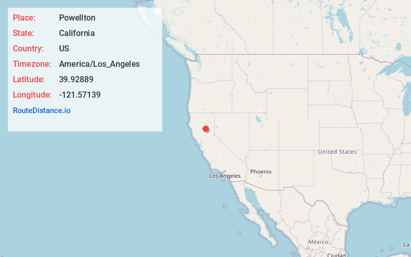
Full AddressPowellton, CA 95954
-
Coordinates39.92889, -121.57139
-
LocationPowellton , California , US
-
TimezoneAmerica/Los_Angeles
-
Current Local Time12:03:36 PM America/Los_AngelesWednesday, May 28, 2025
-
Page Views0
About Powellton
Powellton was an unincorporated community in Butte County, California, USA. It lies at an elevation of 3,622 feet. The place is named for R.P. Powell who arrived in 1853. Originally Powell's Ranch, it was renamed when a post office was established in 1872; the office closed in 1906.
Nearby Places
Found 10 places within 50 miles

Stirling City
2.8 mi
4.5 km
Stirling City, CA
Get directions

Inskip
4.5 mi
7.2 km
Inskip, CA 95954
Get directions

Forest Ranch
6.9 mi
11.1 km
Forest Ranch, CA 95942
Get directions

Lomo
7.9 mi
12.7 km
Lomo, CA 95942
Get directions

Magalia
8.1 mi
13.0 km
Magalia, CA
Get directions

Concow
9.4 mi
15.1 km
Concow, CA 95965
Get directions

Cohasset
9.5 mi
15.3 km
Cohasset, CA 95973
Get directions

Butte Meadows
10.6 mi
17.1 km
Butte Meadows, CA 95942
Get directions
Cresta
10.7 mi
17.2 km
Cresta, CA 95965
Get directions
Mayaro
10.7 mi
17.2 km
Mayaro, CA 95965
Get directions
Location Links
Local Weather
Weather Information
Coming soon!
Location Map
Static map view of Powellton, California
Browse Places by Distance
Places within specific distances from Powellton
Short Distances
Long Distances
Click any distance to see all places within that range from Powellton. Distances shown in miles (1 mile ≈ 1.61 kilometers).