Distance to Mexicali, Baja California

Calculating Your Route
Just a moment while we process your request...
Location Information
-
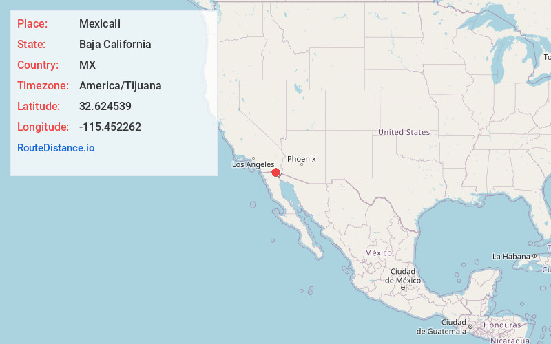
Full AddressMexicali, Baja California, Mexico
-
Coordinates32.6245389, -115.4522623
-
LocationMexicali , Baja California , MX
-
TimezoneAmerica/Tijuana
-
Current Local Time5:39:24 AM America/TijuanaSaturday, June 28, 2025
-
Page Views0
About Mexicali
Mexicali is the capital city of the state of Baja California in northern Mexico, on the U.S. border. The orange Cathedral of Our Lady of Guadalupe dates from 1940. The House of Culture holds performances and art shows in a former school. Museo Sol del Niño has interactive displays on science and technology. Southwest, in the desert, is the Cañón de Guadalupe, a canyon with waterfalls, hot springs and cave paintings.


Nearby Places
Found 10 places within 50 miles

Calexico
4.6 mi
7.4 km
Calexico, CA
Get directions

Bonds Corner
8.2 mi
13.2 km
Bonds Corner, CA 92250
Get directions

Heber
8.6 mi
13.8 km
Heber, CA 92249
Get directions

Mt Signal
11.5 mi
18.5 km
Mt Signal, CA 92231
Get directions
Meloland
12.4 mi
20.0 km
Meloland, CA 92250
Get directions
Rico
13.0 mi
20.9 km
Rico, CA 92250
Get directions

El Centro
13.2 mi
21.2 km
El Centro, CA
Get directions

Holtville
13.6 mi
21.9 km
Holtville, CA 92250
Get directions
Date City
14.3 mi
23.0 km
Date City, CA 92250
Get directions
Wilsie
14.9 mi
24.0 km
Wilsie, CA 92243
Get directions
Location Links
Local Weather
Weather Information
Coming soon!
Location Map
Static map view of Mexicali, Baja California
Browse Places by Distance
Places within specific distances from Mexicali
Short Distances
Long Distances
Click any distance to see all places within that range from Mexicali. Distances shown in miles (1 mile ≈ 1.61 kilometers).