Distance to Middle Bass Island, Ohio

Calculating Your Route
Just a moment while we process your request...
Location Information
-
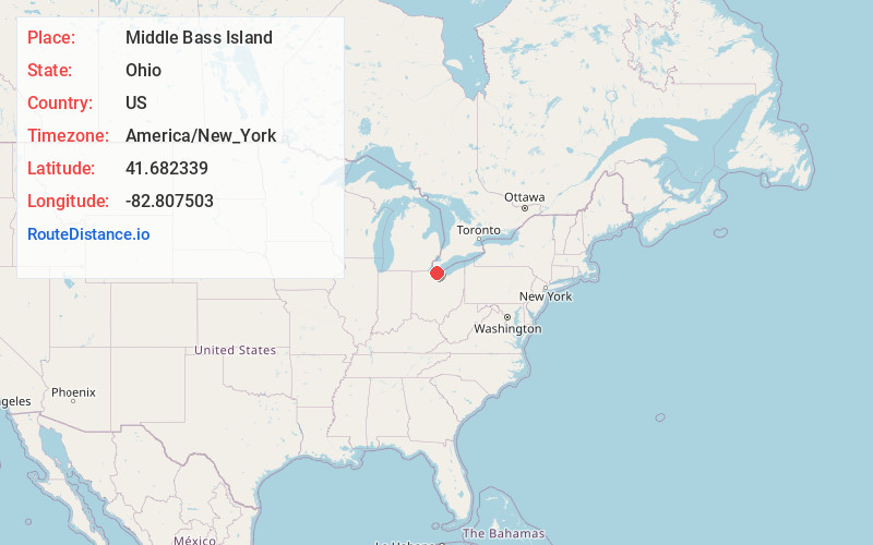
Full AddressMiddle Bass Island, Put-In-Bay Township, OH
-
Coordinates41.6823388, -82.8075032
-
LocationPut-In-Bay Township , Ohio , US
-
TimezoneAmerica/New_York
-
Current Local Time8:53:21 PM America/New_YorkTuesday, June 24, 2025
-
Page Views0
About Middle Bass Island
Boating & camping around a Lake Erie island, home to a state park & restored 19th-century winery.

Nearby Places
Found 10 places within 50 miles

Put-In-Bay
2.2 mi
3.5 km
Put-In-Bay, OH 43456
Get directions

Catawba Island
6.9 mi
11.1 km
Catawba Island, OH 43452
Get directions

Kelleys Island
7.7 mi
12.4 km
Kelleys Island, OH 43438
Get directions

Gypsum
12.7 mi
20.4 km
Gypsum, OH 43452
Get directions

Port Clinton
13.6 mi
21.9 km
Port Clinton, OH 43452
Get directions

Bay View
14.8 mi
23.8 km
Bay View, OH 44870
Get directions

Sandusky
16.4 mi
26.4 km
Sandusky, OH 44870
Get directions

Whites Landing
18.1 mi
29.1 km
Whites Landing, OH 43464
Get directions

Castalia
19.5 mi
31.4 km
Castalia, OH 44824
Get directions

Oak Harbor
21.3 mi
34.3 km
Oak Harbor, OH 43449
Get directions
Location Links
Local Weather
Weather Information
Coming soon!
Location Map
Static map view of Middle Bass Island, Ohio
Browse Places by Distance
Places within specific distances from Middle Bass Island
Short Distances
Long Distances
Click any distance to see all places within that range from Middle Bass Island. Distances shown in miles (1 mile ≈ 1.61 kilometers).