Distance to Millerstown, Kentucky

Calculating Your Route
Just a moment while we process your request...
Location Information
-
Full AddressMillerstown, KY 42726
-
Coordinates37.4453334, -86.050802
-
LocationMillerstown , Kentucky , US
-
TimezoneAmerica/Chicago
-
Current Local Time12:17:22 PM America/ChicagoTuesday, July 1, 2025
-
Page Views0
About Millerstown
Millerstown is an unincorporated community in Grayson County, Kentucky, in the United States.
Nearby Places
Found 10 places within 50 miles

Wheelers Mill
3.8 mi
6.1 km
Wheelers Mill, KY 42726
Get directions
Flint Hill
4.9 mi
7.9 km
Flint Hill, KY 42776
Get directions
Pearman
5.8 mi
9.3 km
Pearman, KY 42726
Get directions
Higdon
6.9 mi
11.1 km
Higdon, KY 42726
Get directions
Pine Springs
6.9 mi
11.1 km
Pine Springs, KY 42726
Get directions
White Mills
7.7 mi
12.4 km
White Mills, KY 42788
Get directions
Roseburg
8.1 mi
13.0 km
Roseburg, KY 42729
Get directions

Upton
8.7 mi
14.0 km
Upton, KY 42784
Get directions
Johnson Crossroads
8.9 mi
14.3 km
Johnson Crossroads, KY 42726
Get directions

Big Clifty
8.9 mi
14.3 km
Big Clifty, KY
Get directions
Location Links
Local Weather
Weather Information
Coming soon!
Location Map
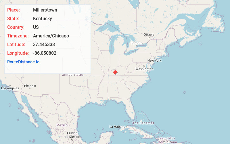
Static map view of Millerstown, Kentucky
Browse Places by Distance
Places within specific distances from Millerstown
Short Distances
Long Distances
Click any distance to see all places within that range from Millerstown. Distances shown in miles (1 mile ≈ 1.61 kilometers).