Distance to Mineral, Ohio

Calculating Your Route
Just a moment while we process your request...
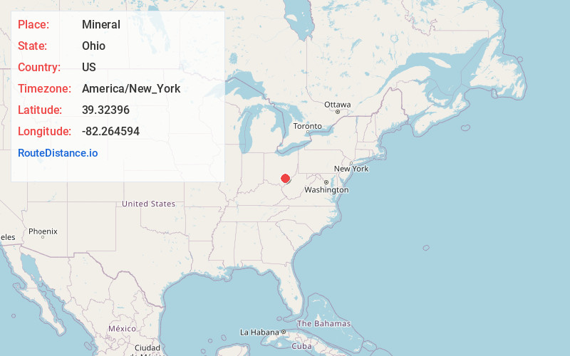
Location Information
-
Full AddressMineral, Waterloo Township, OH 45766
-
Coordinates39.3239604, -82.2645939
-
LocationWaterloo Township , Ohio , US
-
TimezoneAmerica/New_York
-
Current Local Time4:31:33 PM America/New_YorkWednesday, June 18, 2025
-
Page Views0
About Mineral
Mineral is an unincorporated community in Athens County, Ohio, United States. Centered on State Route 356, it was established as a coal mining community. It is located on Mud Lick Run, which flows into nearby Hewitt Fork, a tributary of Raccoon Creek.
Nearby Places
Found 10 places within 50 miles

New Marshfield
2.5 mi
4.0 km
New Marshfield, OH
Get directions
Hope
3.9 mi
6.3 km
Hope, Brown Township, OH 45651
Get directions
Fisher
7.1 mi
11.4 km
Fisher, Alexander Township, OH 45701
Get directions
New Floodwood
7.4 mi
11.9 km
New Floodwood, York Township, OH 45764
Get directions

Albany
7.4 mi
11.9 km
Albany, OH 45710
Get directions

Zaleski
7.5 mi
12.1 km
Zaleski, OH
Get directions

The Plains
7.7 mi
12.4 km
The Plains, OH
Get directions

Athens
8.7 mi
14.0 km
Athens, OH 45701
Get directions

Chauncey
8.8 mi
14.2 km
Chauncey, OH
Get directions
East Clayton
9.0 mi
14.5 km
East Clayton, York Township, OH 45764
Get directions
Location Links
Local Weather
Weather Information
Coming soon!
Location Map
Static map view of Mineral, Ohio
Browse Places by Distance
Places within specific distances from Mineral
Short Distances
Long Distances
Click any distance to see all places within that range from Mineral. Distances shown in miles (1 mile ≈ 1.61 kilometers).