Distance to Albany, Ohio

Calculating Your Route
Just a moment while we process your request...
Location Information
-
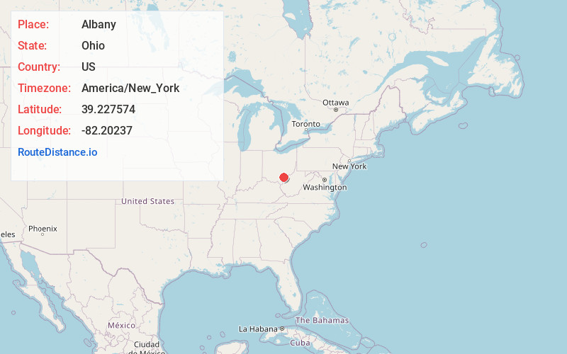
Full AddressAlbany, OH 45710
-
Coordinates39.2275735, -82.2023695
-
LocationAlbany , Ohio , US
-
TimezoneAmerica/New_York
-
Current Local Time5:17:41 PM America/New_YorkWednesday, June 18, 2025
-
Page Views1
About Albany
Albany is a village in Athens County, Ohio, United States. The population was 917 at the 2020 census.


Nearby Places
Found 10 places within 50 miles

Athens
8.9 mi
14.3 km
Athens, OH 45701
Get directions

The Plains
10.5 mi
16.9 km
The Plains, OH
Get directions

Chauncey
12.4 mi
20.0 km
Chauncey, OH
Get directions

Rutland
13.2 mi
21.2 km
Rutland, OH
Get directions

McArthur
14.8 mi
23.8 km
McArthur, OH 45651
Get directions

Nelsonville
16.0 mi
25.7 km
Nelsonville, OH 45764
Get directions

Pomeroy
16.5 mi
26.6 km
Pomeroy, OH
Get directions

Middleport
17.6 mi
28.3 km
Middleport, OH
Get directions

Wellston
19.1 mi
30.7 km
Wellston, OH
Get directions

Glouster
20.1 mi
32.3 km
Glouster, OH 45732
Get directions
Location Links
Local Weather
Weather Information
Coming soon!
Location Map
Static map view of Albany, Ohio
Browse Places by Distance
Places within specific distances from Albany
Short Distances
Long Distances
Click any distance to see all places within that range from Albany. Distances shown in miles (1 mile ≈ 1.61 kilometers).