Distance to New Marshfield, Ohio

Calculating Your Route
Just a moment while we process your request...
Location Information
-
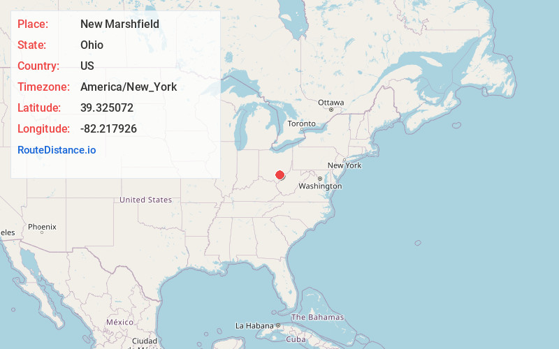
Full AddressNew Marshfield, OH
-
Coordinates39.3250719, -82.2179258
-
LocationNew Marshfield , Ohio , US
-
TimezoneAmerica/New_York
-
Current Local Time9:03:02 AM America/New_YorkThursday, June 12, 2025
-
Page Views0
About New Marshfield
New Marshfield is a census-designated place in central Waterloo Township, Athens County, Ohio, United States. The population was 316 at the 2020 census. It has a post office with the ZIP code 45766. It is located along State Route 56 west of the county seat of Athens.
Nearby Places
Found 10 places within 50 miles

The Plains
5.5 mi
8.9 km
The Plains, OH
Get directions

Athens
6.2 mi
10.0 km
Athens, OH 45701
Get directions

Albany
6.8 mi
10.9 km
Albany, OH 45710
Get directions

Chauncey
6.9 mi
11.1 km
Chauncey, OH
Get directions

Nelsonville
9.3 mi
15.0 km
Nelsonville, OH 45764
Get directions

Buchtel
9.7 mi
15.6 km
Buchtel, OH
Get directions
Millfield
9.9 mi
15.9 km
Millfield, OH 45761
Get directions

Zaleski
9.9 mi
15.9 km
Zaleski, OH
Get directions

Haydenville
12.3 mi
19.8 km
Haydenville, OH
Get directions

Jacksonville
12.7 mi
20.4 km
Jacksonville, OH
Get directions
Location Links
Local Weather
Weather Information
Coming soon!
Location Map
Static map view of New Marshfield, Ohio
Browse Places by Distance
Places within specific distances from New Marshfield
Short Distances
Long Distances
Click any distance to see all places within that range from New Marshfield. Distances shown in miles (1 mile ≈ 1.61 kilometers).