Distance to Mingo, Pennsylvania

Calculating Your Route
Just a moment while we process your request...
Location Information
-
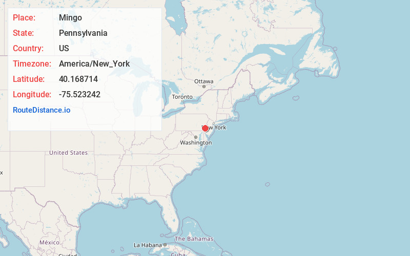
Full AddressMingo, Upper Providence Township, PA 19460
-
Coordinates40.1687141, -75.5232424
-
LocationUpper Providence Township , Pennsylvania , US
-
TimezoneAmerica/New_York
-
Current Local Time8:01:35 AM America/New_YorkFriday, June 27, 2025
-
Page Views0
About Mingo
Mingo is an unincorporated village in Upper Providence Township, Montgomery County, Pennsylvania, United States, just southeast of Royersford close to the Schuylkill River.
Mingo had a Post Office from 1880 to 1883.
Nearby Places
Found 10 places within 50 miles

Upper Providence Township
1.3 mi
2.1 km
Upper Providence Township, PA
Get directions

Royersford
1.3 mi
2.1 km
Royersford, PA 19468
Get directions

Spring City
1.4 mi
2.3 km
Spring City, PA 19475
Get directions

Cromby
1.5 mi
2.4 km
Cromby, Phoenixville, PA 19460
Get directions

Mont Clare
2.3 mi
3.7 km
Mont Clare, PA
Get directions

Phoenixville
2.7 mi
4.3 km
Phoenixville, PA 19460
Get directions

East Pikeland Township
2.9 mi
4.7 km
East Pikeland Township, PA
Get directions
Barlow Heights
3.2 mi
5.1 km
Barlow Heights, Limerick Township, PA 19468
Get directions

Trappe
3.2 mi
5.1 km
Trappe, PA 19426
Get directions

East Vincent Township
3.3 mi
5.3 km
East Vincent Township, PA
Get directions
Location Links
Local Weather
Weather Information
Coming soon!
Location Map
Static map view of Mingo, Pennsylvania
Browse Places by Distance
Places within specific distances from Mingo
Short Distances
Long Distances
Click any distance to see all places within that range from Mingo. Distances shown in miles (1 mile ≈ 1.61 kilometers).