Distance to Mingona, Kansas

Calculating Your Route
Just a moment while we process your request...
Location Information
-
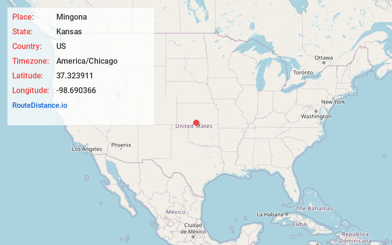
Full AddressMingona, KS 67104
-
Coordinates37.3239114, -98.6903662
-
LocationMingona , Kansas , US
-
TimezoneAmerica/Chicago
-
Current Local Time1:35:56 AM America/ChicagoSaturday, June 21, 2025
-
Page Views0
About Mingona
Mingona is an unincorporated community in Mingona Township, Barber County, Kansas, United States. It is 6.5 miles northwest of Medicine Lodge.
Nearby Places
Found 10 places within 50 miles

Forest City
2.2 mi
3.5 km
Forest City, Mingona Township, KS 67104
Get directions

Medicine Lodge
6.7 mi
10.8 km
Medicine Lodge, KS 67104
Get directions

Lake City
7.5 mi
12.1 km
Lake City, KS 67071
Get directions
Pixley
10.9 mi
17.5 km
Pixley, Medicine Lodge Township, KS 67104
Get directions

Sawyer
12.0 mi
19.3 km
Sawyer, KS 67134
Get directions

Isabel
12.5 mi
20.1 km
Isabel, KS 67065
Get directions

Sun City
13.0 mi
20.9 km
Sun City, KS 67143
Get directions
Deerhead
13.5 mi
21.7 km
Deerhead, KS 67071
Get directions
Gerlane
14.1 mi
22.7 km
Gerlane, Moore Township, KS 67070
Get directions

Coats
14.9 mi
24.0 km
Coats, KS 67028
Get directions
Location Links
Local Weather
Weather Information
Coming soon!
Location Map
Static map view of Mingona, Kansas
Browse Places by Distance
Places within specific distances from Mingona
Short Distances
Long Distances
Click any distance to see all places within that range from Mingona. Distances shown in miles (1 mile ≈ 1.61 kilometers).