Distance to Pixley, Kansas

Calculating Your Route
Just a moment while we process your request...
Location Information
-
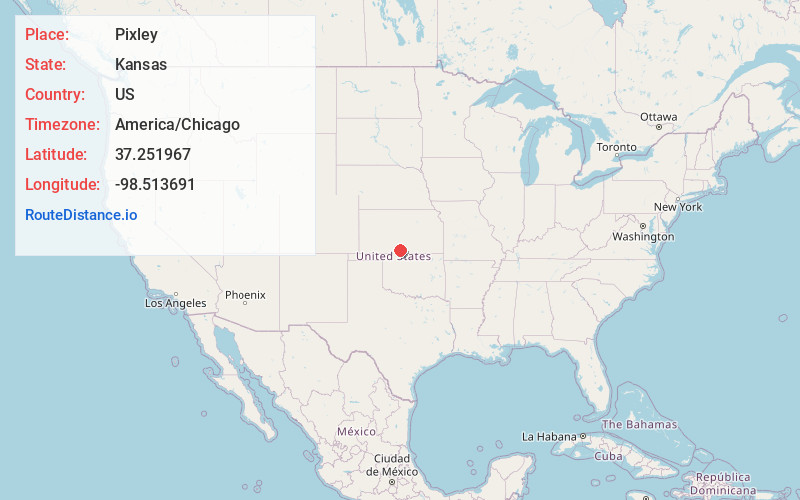
Full AddressPixley, Medicine Lodge Township, KS 67104
-
Coordinates37.2519672, -98.513691
-
LocationMedicine Lodge Township , Kansas , US
-
TimezoneAmerica/Chicago
-
Current Local Time2:24:11 PM America/ChicagoSunday, June 1, 2025
-
Page Views0
About Pixley
Pixley is an unincorporated community in Medicine Lodge Township, Barber County, Kansas, United States. It is 4 miles southeast of Medicine Lodge.
Nearby Places
Found 10 places within 50 miles

Medicine Lodge
4.2 mi
6.8 km
Medicine Lodge, KS 67104
Get directions

Sharon
5.1 mi
8.2 km
Sharon, KS 67138
Get directions
Hazelton
12.8 mi
20.6 km
Hazelton, KS 67061
Get directions
Forest City
12.9 mi
20.8 km
Forest City, Mingona Township, KS 67104
Get directions
Nashville
14.0 mi
22.5 km
Nashville, KS 67112
Get directions

Isabel
15.0 mi
24.1 km
Isabel, KS 67065
Get directions

Attica
15.8 mi
25.4 km
Attica, KS 67009
Get directions

Kiowa
16.3 mi
26.2 km
Kiowa, KS 67070
Get directions

Hardtner
18.1 mi
29.1 km
Hardtner, KS 67057
Get directions

Lake City
18.3 mi
29.5 km
Lake City, KS 67071
Get directions
Location Links
Local Weather
Weather Information
Coming soon!
Location Map
Static map view of Pixley, Kansas
Browse Places by Distance
Places within specific distances from Pixley
Short Distances
Long Distances
Click any distance to see all places within that range from Pixley. Distances shown in miles (1 mile ≈ 1.61 kilometers).