Distance to Minnehaha, Arizona

Calculating Your Route
Just a moment while we process your request...
Location Information
-
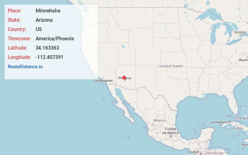
Full AddressMinnehaha, AZ 86332
-
Coordinates34.1633634, -112.4073906
-
LocationArizona , US
-
TimezoneAmerica/Phoenix
-
Current Local Time10:44:45 AM America/PhoenixWednesday, June 18, 2025
-
Page Views0
Nearby Places
Found 10 places within 50 miles

Chilean Mill
1.2 mi
1.9 km
Chilean Mill, AZ 86332
Get directions
Lapham
1.2 mi
1.9 km
Lapham, AZ 86343
Get directions
Fort Misery
2.8 mi
4.5 km
Fort Misery, AZ 86343
Get directions
Burro John
3.5 mi
5.6 km
Burro John, AZ 86343
Get directions

Crown King
4.9 mi
7.9 km
Crown King, AZ 86343
Get directions
Wild Flower Saddle
5.5 mi
8.9 km
Wild Flower Saddle, Arizona 86343
Get directions
Lehman Mill
5.6 mi
9.0 km
Lehman Mill, AZ 85342
Get directions

Copperopolis Mine
6.6 mi
10.6 km
Copperopolis Mine, Arizona 85342
Get directions
Hooper
7.2 mi
11.6 km
Hooper, AZ 86332
Get directions
Wagoner
8.1 mi
13.0 km
Wagoner, AZ 86332
Get directions
Location Links
Local Weather
Weather Information
Coming soon!
Location Map
Static map view of Minnehaha, Arizona
Browse Places by Distance
Places within specific distances from Minnehaha
Short Distances
Long Distances
Click any distance to see all places within that range from Minnehaha. Distances shown in miles (1 mile ≈ 1.61 kilometers).