Distance to Minter Village, California

Calculating Your Route
Just a moment while we process your request...
Location Information
-
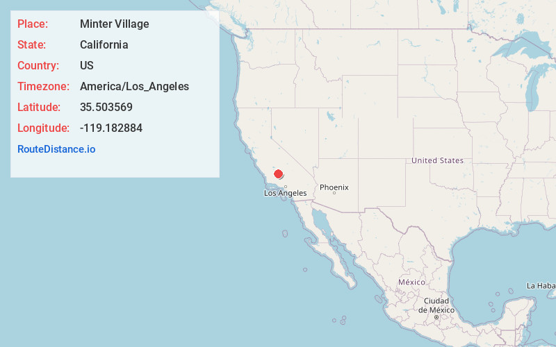
Full AddressMinter Village, Shafter, CA 93263
-
Coordinates35.5035685, -119.1828837
-
LocationShafter , California , US
-
TimezoneAmerica/Los_Angeles
-
Current Local Time1:31:11 AM America/Los_AngelesFriday, June 20, 2025
-
Page Views0
About Minter Village
Minter Village is an unincorporated community in Kern County, California. It is located 13 miles northwest of Bakersfield, at an elevation of 423 feet. During World War II, the place was the site of an Army Air Corps airfield Minter Field. Minter Village was founded in 1946, following the deactivation of the field.
Nearby Places
Found 10 places within 50 miles

Lerdo
1.9 mi
3.1 km
Lerdo, CA 93314
Get directions
Prospero
3.9 mi
6.3 km
Prospero, CA 93314
Get directions
Cherokee Strip
5.0 mi
8.0 km
Cherokee Strip, CA 93263
Get directions

Shafter
5.1 mi
8.2 km
Shafter, CA
Get directions
Smith Corner
5.6 mi
9.0 km
Smith Corner, CA 93263
Get directions
Saco
6.6 mi
10.6 km
Saco, CA 93314
Get directions

Rosedale
8.5 mi
13.7 km
Rosedale, CA
Get directions
Greenacres
9.3 mi
15.0 km
Greenacres, CA 93312
Get directions

Rio Bravo-Greeley Union Elementary School District
10.1 mi
16.3 km
Rio Bravo-Greeley Union Elementary School District, CA
Get directions
Jastro
10.8 mi
17.4 km
Jastro, CA 93308
Get directions
Location Links
Local Weather
Weather Information
Coming soon!
Location Map
Static map view of Minter Village, California
Browse Places by Distance
Places within specific distances from Minter Village
Short Distances
Long Distances
Click any distance to see all places within that range from Minter Village. Distances shown in miles (1 mile ≈ 1.61 kilometers).