Distance to Smith Corner, California

Calculating Your Route
Just a moment while we process your request...
Location Information
-
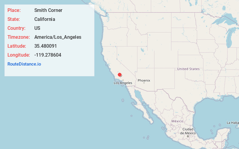
Full AddressSmith Corner, CA 93263
-
Coordinates35.4800913, -119.2786042
-
LocationSmith Corner , California , US
-
TimezoneAmerica/Los_Angeles
-
Current Local Time3:27:18 AM America/Los_AngelesFriday, June 20, 2025
-
Page Views0
About Smith Corner
Smith Corner is a census-designated place in Kern County, California. It is located 1.5 miles south of Shafter, at an elevation of 331 feet. The population was 524 at the 2010 census.
Nearby Places
Found 10 places within 50 miles

Shafter
1.5 mi
2.4 km
Shafter, CA
Get directions

Wasco
8.6 mi
13.8 km
Wasco, CA 93280
Get directions

Rosedale
10.0 mi
16.1 km
Rosedale, CA
Get directions

Greenacres
11.6 mi
18.7 km
Greenacres, CA 93312
Get directions

Buttonwillow
12.1 mi
19.5 km
Buttonwillow, CA
Get directions

McFarland
14.0 mi
22.5 km
McFarland, CA 93250
Get directions

Oildale
15.2 mi
24.5 km
Oildale, CA 93308
Get directions

Bakersfield
16.3 mi
26.2 km
Bakersfield, CA
Get directions

East Bakersfield
18.1 mi
29.1 km
East Bakersfield, CA
Get directions

Dustin Acres
19.1 mi
30.7 km
Dustin Acres, CA 93268
Get directions
Location Links
Local Weather
Weather Information
Coming soon!
Location Map
Static map view of Smith Corner, California
Browse Places by Distance
Places within specific distances from Smith Corner
Short Distances
Long Distances
Click any distance to see all places within that range from Smith Corner. Distances shown in miles (1 mile ≈ 1.61 kilometers).