Distance to Mitchellsburg, Kentucky

Calculating Your Route
Just a moment while we process your request...
Location Information
-
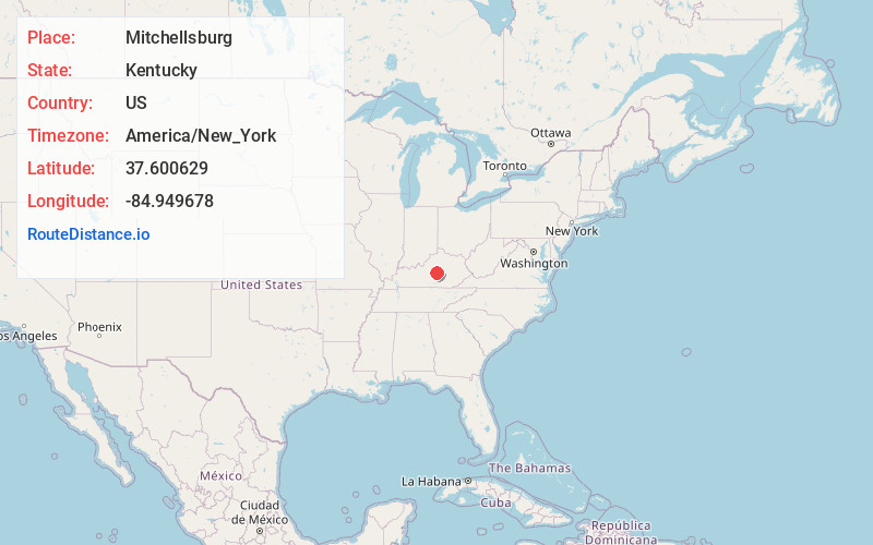
Full AddressMitchellsburg, KY 40464
-
Coordinates37.600629, -84.9496784
-
LocationMitchellsburg , Kentucky , US
-
TimezoneAmerica/New_York
-
Current Local Time5:32:55 AM America/New_YorkFriday, June 13, 2025
-
Page Views0
About Mitchellsburg
Mitchellsburg is an unincorporated community in Boyle County, Kentucky, United States. Mitchellsburg is located on Kentucky Route 34 10.2 miles west-southwest of Danville. Mitchellsburg had a post office until April 12, 2008; it still has its own ZIP code, 40452.
Nearby Places
Found 10 places within 50 miles

Brumfield
1.8 mi
2.9 km
Brumfield, KY 40468
Get directions

Parksville
3.2 mi
5.1 km
Parksville, KY 40440
Get directions

Perryville
3.4 mi
5.5 km
Perryville, KY 40468
Get directions
Gravel Switch
5.8 mi
9.3 km
Gravel Switch, KY 40328
Get directions
Alum Springs
6.0 mi
9.7 km
Alum Springs, KY 40422
Get directions
Davis Hill
7.0 mi
11.3 km
Davis Hill, KY 40422
Get directions
Dixville
7.3 mi
11.7 km
Dixville, KY 40330
Get directions
Riley
8.6 mi
13.8 km
Riley, KY 40328
Get directions
Deep Creek
8.9 mi
14.3 km
Deep Creek, Kentucky
Get directions
Junction City
9.0 mi
14.5 km
Junction City, KY
Get directions
Location Links
Local Weather
Weather Information
Coming soon!
Location Map
Static map view of Mitchellsburg, Kentucky
Browse Places by Distance
Places within specific distances from Mitchellsburg
Short Distances
Long Distances
Click any distance to see all places within that range from Mitchellsburg. Distances shown in miles (1 mile ≈ 1.61 kilometers).