Distance to and from Mocksville, North Carolina
Mocksville, NC 27028
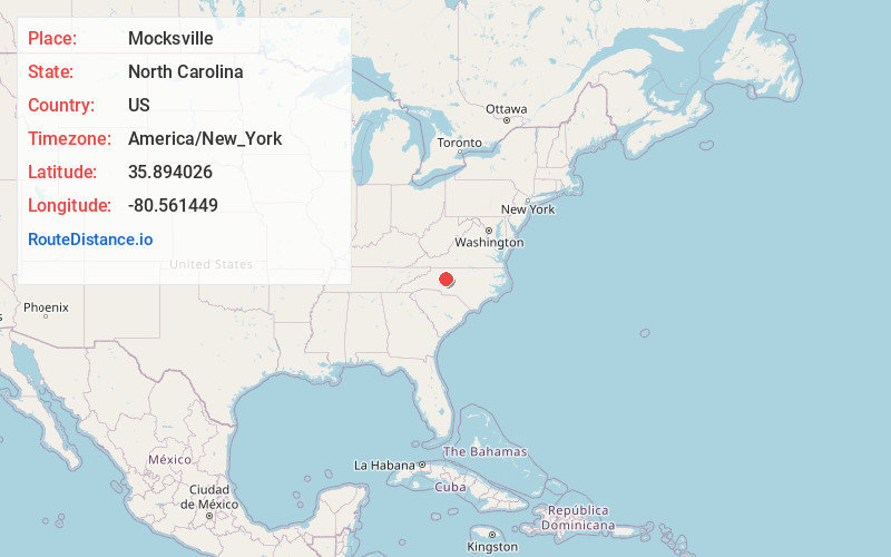
Mocksville
North Carolina
US
America/New_York
Location Information
-
Full AddressMocksville, NC 27028
-
Coordinates35.8940263, -80.5614494
-
LocationMocksville , North Carolina , US
-
TimezoneAmerica/New_York
-
Current Local Time6:58:21 PM America/New_YorkSaturday, May 3, 2025
-
Page Views0
Directions to Nearest Cities
About Mocksville
Mocksville is a town in Davie County, North Carolina, United States. The population was 5,927 at the 2020 census. I-40 leads west to Statesville and Hickory, and east to Winston-Salem and Greensboro. Route 64 heads east to Lexington, and west towards Statesville and Taylorsville. It is the county seat of Davie County.


Nearby Places
Found 10 places within 50 miles

Clemmons
13.4 mi
21.6 km
Clemmons, NC
Get directions

Lewisville
16.1 mi
25.9 km
Lewisville, NC
Get directions

Salisbury
16.2 mi
26.1 km
Salisbury, NC
Get directions

Lexington
17.9 mi
28.8 km
Lexington, NC
Get directions

Statesville
19.8 mi
31.9 km
Statesville, NC
Get directions

Winston-Salem
22.6 mi
36.4 km
Winston-Salem, NC
Get directions

Mooresville
25.8 mi
41.5 km
Mooresville, NC
Get directions

Thomasville
26.9 mi
43.3 km
Thomasville, NC 27360
Get directions

Kannapolis
28.3 mi
45.5 km
Kannapolis, NC
Get directions

King
29.0 mi
46.7 km
King, NC
Get directions
Clemmons
13.4 mi
21.6 km
Clemmons, NC
Lewisville
16.1 mi
25.9 km
Lewisville, NC
Salisbury
16.2 mi
26.1 km
Salisbury, NC
Lexington
17.9 mi
28.8 km
Lexington, NC
Statesville
19.8 mi
31.9 km
Statesville, NC
Winston-Salem
22.6 mi
36.4 km
Winston-Salem, NC
Mooresville
25.8 mi
41.5 km
Mooresville, NC
Thomasville
26.9 mi
43.3 km
Thomasville, NC 27360
Kannapolis
28.3 mi
45.5 km
Kannapolis, NC
King
29.0 mi
46.7 km
King, NC
Location Links
Local Weather
Weather Information
Coming soon!
Location Map
Static map view of Mocksville, North Carolina
Browse Places by Distance
Places within specific distances from Mocksville
Short Distances
Long Distances
Click any distance to see all places within that range from Mocksville. Distances shown in miles (1 mile ≈ 1.61 kilometers).