Distance to Model, Colorado

Calculating Your Route
Just a moment while we process your request...
Location Information
-
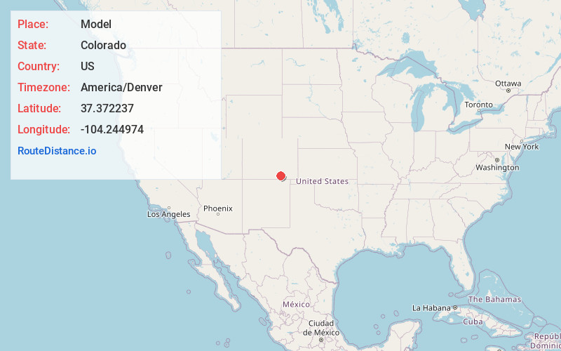
Full AddressModel, CO 81059
-
Coordinates37.3722372, -104.2449743
-
LocationModel , Colorado , US
-
TimezoneAmerica/Denver
-
Current Local Time10:49:48 AM America/DenverTuesday, June 17, 2025
-
Page Views0
About Model
Model is an abandoned unincorporated village in Las Animas County, Colorado, United States. The Model Post Office serving ZIP Code 81059 was in operation from 1912 to 2021, and was the last business or service standing there for many years. The community originally was a planned, or "model" community, hence the name.


Nearby Places
Found 10 places within 50 miles

Simpson
9.7 mi
15.6 km
Simpson, CO 81059
Get directions

Hoehne
9.8 mi
15.8 km
Hoehne, CO
Get directions
Beshoar
13.9 mi
22.4 km
Beshoar, CO 81082
Get directions
El Moro
16.1 mi
25.9 km
El Moro, CO 81082
Get directions

Trinidad
19.8 mi
31.9 km
Trinidad, CO 81082
Get directions
Engleville
19.9 mi
32.0 km
Engleville, CO 81082
Get directions
Jansen
22.3 mi
35.9 km
Jansen, CO 81082
Get directions

Aguilar
22.5 mi
36.2 km
Aguilar, CO 81020
Get directions

Starkville
23.5 mi
37.8 km
Starkville, CO 81082
Get directions

Cokedale
26.0 mi
41.8 km
Cokedale, CO 81082
Get directions
Location Links
Local Weather
Weather Information
Coming soon!
Location Map
Static map view of Model, Colorado
Browse Places by Distance
Places within specific distances from Model
Short Distances
Long Distances
Click any distance to see all places within that range from Model. Distances shown in miles (1 mile ≈ 1.61 kilometers).