Distance to Simpson, Colorado

Calculating Your Route
Just a moment while we process your request...
Location Information
-
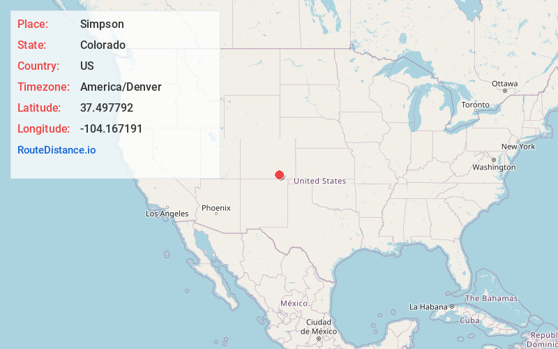
Full AddressSimpson, CO 81059
-
Coordinates37.4977918, -104.1671912
-
LocationColorado , US
-
TimezoneAmerica/Denver
-
Current Local Time6:16:12 PM America/DenverSaturday, June 21, 2025
-
Page Views1
Nearby Places
Found 10 places within 50 miles

Hoehne
19.1 mi
30.7 km
Hoehne, CO
Get directions

Mindeman
19.9 mi
32.0 km
Mindeman, CO 81059
Get directions
El Moro
25.3 mi
40.7 km
El Moro, CO 81082
Get directions

Aguilar
27.5 mi
44.3 km
Aguilar, CO 81020
Get directions

Trinidad
29.2 mi
47.0 km
Trinidad, CO 81082
Get directions
Jansen
31.6 mi
50.9 km
Jansen, CO 81082
Get directions

Starkville
32.9 mi
52.9 km
Starkville, CO 81082
Get directions

Walsenburg
34.7 mi
55.8 km
Walsenburg, CO 81089
Get directions

Cokedale
34.9 mi
56.2 km
Cokedale, CO 81082
Get directions

Branson
36.6 mi
58.9 km
Branson, CO 81027
Get directions
Location Links
Local Weather
Weather Information
Coming soon!
Location Map
Static map view of Simpson, Colorado
Browse Places by Distance
Places within specific distances from Simpson
Short Distances
Long Distances
Click any distance to see all places within that range from Simpson. Distances shown in miles (1 mile ≈ 1.61 kilometers).