Distance to Modeste, Louisiana

Calculating Your Route
Just a moment while we process your request...
Location Information
-
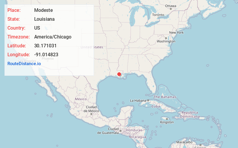
Full AddressModeste, LA 70346
-
Coordinates30.1710306, -91.014823
-
LocationModeste , Louisiana , US
-
TimezoneAmerica/Chicago
-
Current Local Time3:46:52 PM America/ChicagoTuesday, June 3, 2025
-
Page Views0
About Modeste
Modeste, Louisiana is an unincorporated village in Ascension, Parish, Louisiana. The community is located along the Mississippi River on Louisiana Highway 405, north of the parish seat of Donaldsonville, between Hohen Solms, and Philadelphia Point, due south and across the river from Geismar.
Nearby Places
Found 10 places within 50 miles

Mt Houmas
2.2 mi
3.5 km
Mt Houmas, Geismar, LA 70734
Get directions
Hohen Solms
2.6 mi
4.2 km
Hohen Solms, LA 70346
Get directions
Geismar
3.4 mi
5.5 km
Geismar, LA 70734
Get directions
Southwood
3.9 mi
6.3 km
Southwood, Geismar, LA 70734
Get directions

Darrow
4.0 mi
6.4 km
Darrow, LA 70725
Get directions
Smoke Bend
4.3 mi
6.9 km
Smoke Bend, LA 70346
Get directions
Noel
4.3 mi
6.9 km
Noel, LA 70346
Get directions
St Elmo Revetment
4.9 mi
7.9 km
St Elmo Revetment, Louisiana 70725
Get directions

Donaldsonville
5.0 mi
8.0 km
Donaldsonville, LA 70346
Get directions
Cannonburg
5.6 mi
9.0 km
Cannonburg, LA 70788
Get directions
Location Links
Local Weather
Weather Information
Coming soon!
Location Map
Static map view of Modeste, Louisiana
Browse Places by Distance
Places within specific distances from Modeste
Short Distances
Long Distances
Click any distance to see all places within that range from Modeste. Distances shown in miles (1 mile ≈ 1.61 kilometers).