Distance to Montclair Colony, New York

Calculating Your Route
Just a moment while we process your request...
Location Information
-
Full AddressMontclair Colony, Shelter Island Heights, NY 11964
-
Coordinates41.0509328, -72.3492497
-
LocationShelter Island Heights , New York , US
-
TimezoneAmerica/New_York
-
Current Local Time5:04:37 PM America/New_YorkWednesday, June 18, 2025
-
Page Views0
Nearby Places
Found 10 places within 50 miles

Shelter Island
1.3 mi
2.1 km
Shelter Island, NY
Get directions

Dering Harbor
2.9 mi
4.7 km
Dering Harbor, NY 11965
Get directions

North Haven
3.2 mi
5.1 km
North Haven, NY 11963
Get directions

Noyack
3.8 mi
6.1 km
Noyack, NY 11963
Get directions

Southold
4.1 mi
6.6 km
Southold, NY 11971
Get directions

Sag Harbor
4.7 mi
7.6 km
Sag Harbor, NY 11963
Get directions

East Marion
5.3 mi
8.5 km
East Marion, NY 11939
Get directions
Peconic
5.9 mi
9.5 km
Peconic, NY
Get directions
Rose Grove
6.8 mi
10.9 km
Rose Grove, North Sea, NY 11968
Get directions

Cutchogue
7.6 mi
12.2 km
Cutchogue, NY
Get directions
Location Links
Local Weather
Weather Information
Coming soon!
Location Map
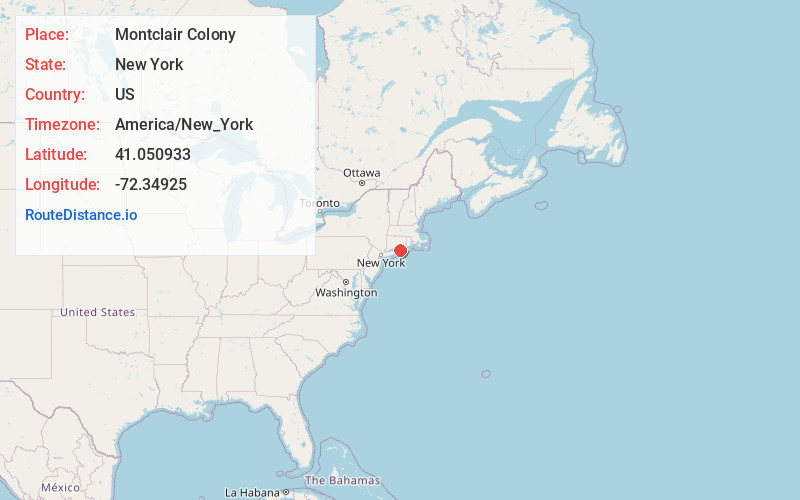
Static map view of Montclair Colony, New York
Browse Places by Distance
Places within specific distances from Montclair Colony
Short Distances
Long Distances
Click any distance to see all places within that range from Montclair Colony. Distances shown in miles (1 mile ≈ 1.61 kilometers).