Distance to Moontown, Alabama

Calculating Your Route
Just a moment while we process your request...
Location Information
-
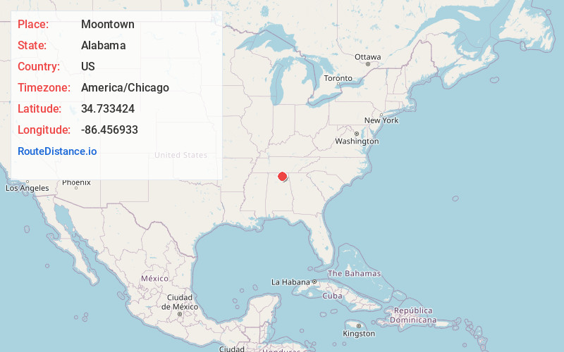
Full AddressMoontown, AL 35741
-
Coordinates34.7334236, -86.456933
-
LocationAlabama , US
-
TimezoneAmerica/Chicago
-
Current Local Time9:59:09 PM America/ChicagoWednesday, June 18, 2025
-
Page Views0
About Moontown
Moontown is an unincorporated community in Madison County, Alabama, United States. It contains the Moontown Airport.
Nearby Places
Found 10 places within 50 miles

Brownsboro
1.4 mi
2.3 km
Brownsboro, AL
Get directions

Dug Hill
2.2 mi
3.5 km
Dug Hill, Huntsville, AL 35741
Get directions
Ryland
2.9 mi
4.7 km
Ryland, AL 35811
Get directions
Maysville
2.9 mi
4.7 km
Maysville, AL 35811
Get directions
Sublett Mill
3.2 mi
5.1 km
Sublett Mill, AL 35748
Get directions
Mt Carmel
5.1 mi
8.2 km
Mt Carmel, AL 35811
Get directions

Gurley
5.1 mi
8.2 km
Gurley, AL
Get directions

Oak Park
5.5 mi
8.9 km
Oak Park, Huntsville, AL 35811
Get directions
Mercury
5.8 mi
9.3 km
Mercury, Huntsville, AL 35811
Get directions
Cherrytree
6.1 mi
9.8 km
Cherrytree, Huntsville, AL 35748
Get directions
Location Links
Local Weather
Weather Information
Coming soon!
Location Map
Static map view of Moontown, Alabama
Browse Places by Distance
Places within specific distances from Moontown
Short Distances
Long Distances
Click any distance to see all places within that range from Moontown. Distances shown in miles (1 mile ≈ 1.61 kilometers).