Distance to Moore Haven, Florida

Calculating Your Route
Just a moment while we process your request...
Location Information
-
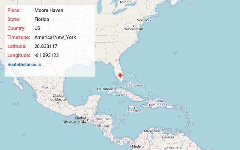
Full AddressMoore Haven, FL 33471
-
Coordinates26.8331174, -81.0931234
-
LocationMoore Haven , Florida , US
-
TimezoneAmerica/New_York
-
Current Local Time10:09:14 PM America/New_YorkThursday, June 19, 2025
-
Page Views0
About Moore Haven
Moore Haven is a city in, and the county seat of, Glades County, Florida, United States. It is part of the Florida Heartland region. The population was 1,566 at the 2020 census, down from 1,680 at the 2010 census. Moore Haven is located on the southwest shoreline of Lake Okeechobee.


Nearby Places
Found 10 places within 50 miles

Harlem
11.0 mi
17.7 km
Harlem, FL 33440
Get directions

Clewiston
11.2 mi
18.0 km
Clewiston, FL 33440
Get directions

Port LaBelle
20.0 mi
32.2 km
Port LaBelle, FL 33935
Get directions

LaBelle
21.9 mi
35.2 km
LaBelle, FL 33935
Get directions

South Bay
26.0 mi
41.8 km
South Bay, FL 33493
Get directions

Pahokee
26.4 mi
42.5 km
Pahokee, FL 33476
Get directions

Belle Glade
28.2 mi
45.4 km
Belle Glade, FL
Get directions

Taylor Creek
32.4 mi
52.1 km
Taylor Creek, FL 34974
Get directions

Okeechobee
32.7 mi
52.6 km
Okeechobee, FL
Get directions

Alva
32.9 mi
52.9 km
Alva, FL 33920
Get directions
Location Links
Local Weather
Weather Information
Coming soon!
Location Map
Static map view of Moore Haven, Florida
Browse Places by Distance
Places within specific distances from Moore Haven
Short Distances
Long Distances
Click any distance to see all places within that range from Moore Haven. Distances shown in miles (1 mile ≈ 1.61 kilometers).