Distance to Moorefield Station, Virginia

Calculating Your Route
Just a moment while we process your request...
Location Information
-
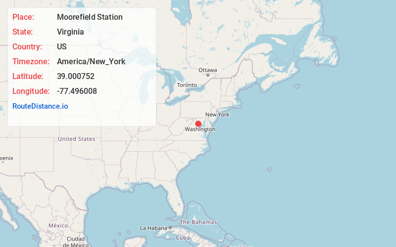
Full AddressMoorefield Station, VA 20148
-
Coordinates39.000752, -77.4960078
-
LocationMoorefield Station , Virginia , US
-
TimezoneAmerica/New_York
-
Current Local Time9:48:45 AM America/New_YorkTuesday, June 24, 2025
-
Page Views0
About Moorefield Station
Moorefield is a census-designated place in Loudoun County, Virginia, United States. As of the 2010 census, the CDP was named Moorefield Station, and the population was 77. As of 2019, the estimated population was 1,976.


Nearby Places
Found 10 places within 50 miles

Broadlands
1.8 mi
2.9 km
Broadlands, VA
Get directions

Brambleton
2.2 mi
3.5 km
Brambleton, VA
Get directions

Ashburn
3.0 mi
4.8 km
Ashburn, VA
Get directions

Dulles
3.6 mi
5.8 km
Dulles, VA 20166
Get directions

Sterling
3.6 mi
5.8 km
Sterling, VA
Get directions

Arcola
3.9 mi
6.3 km
Arcola, VA
Get directions
Belmont
4.5 mi
7.2 km
Belmont, VA 20147
Get directions
McNair
5.5 mi
8.9 km
McNair, VA
Get directions

Lansdowne
5.8 mi
9.3 km
Lansdowne, VA
Get directions

Stone Ridge
6.0 mi
9.7 km
Stone Ridge, VA
Get directions
Location Links
Local Weather
Weather Information
Coming soon!
Location Map
Static map view of Moorefield Station, Virginia
Browse Places by Distance
Places within specific distances from Moorefield Station
Short Distances
Long Distances
Click any distance to see all places within that range from Moorefield Station. Distances shown in miles (1 mile ≈ 1.61 kilometers).