Distance to Moorefield Township, Ohio

Calculating Your Route
Just a moment while we process your request...
Location Information
-
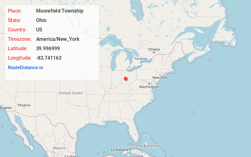
Full AddressMoorefield Township, OH
-
Coordinates39.9969994, -83.7411631
-
LocationMoorefield Township , Ohio , US
-
TimezoneAmerica/New_York
-
Current Local Time10:17:36 PM America/New_YorkWednesday, July 2, 2025
-
Page Views0
About Moorefield Township
Moorefield Township is one of the ten townships of Clark County, Ohio, United States. The population as of the 2020 census was 12,622.
Nearby Places
Found 10 places within 50 miles

Villa
2.4 mi
3.9 km
Villa, OH 45503
Get directions
Powhattan
4.1 mi
6.6 km
Powhattan, Urbana Township, OH 43078
Get directions
Tremont City
5.1 mi
8.2 km
Tremont City, OH
Get directions
Eagle City
5.1 mi
8.2 km
Eagle City, German Township, OH 45504
Get directions
Harmony
5.6 mi
9.0 km
Harmony, OH 45505
Get directions

Springfield
6.3 mi
10.1 km
Springfield, OH
Get directions

Catawba
6.3 mi
10.1 km
Catawba, OH
Get directions
Lawrenceville
7.1 mi
11.4 km
Lawrenceville, OH
Get directions

Urbana
7.7 mi
12.4 km
Urbana, OH 43078
Get directions
Mutual
7.9 mi
12.7 km
Mutual, OH
Get directions
Location Links
Local Weather
Weather Information
Coming soon!
Location Map
Static map view of Moorefield Township, Ohio
Browse Places by Distance
Places within specific distances from Moorefield Township
Short Distances
Long Distances
Click any distance to see all places within that range from Moorefield Township. Distances shown in miles (1 mile ≈ 1.61 kilometers).