Distance to Catawba, Ohio

Calculating Your Route
Just a moment while we process your request...
Location Information
-
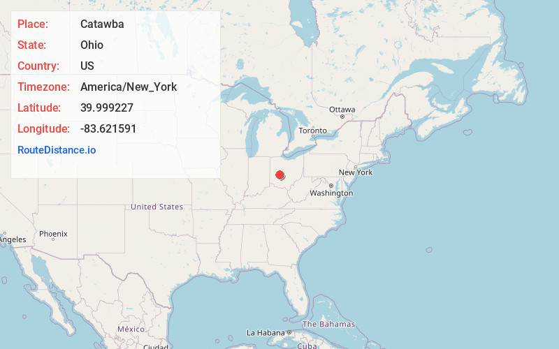
Full AddressCatawba, OH
-
Coordinates39.999227, -83.6215913
-
LocationCatawba , Ohio , US
-
TimezoneAmerica/New_York
-
Current Local Time4:30:35 AM America/New_YorkSunday, June 22, 2025
-
Page Views0
About Catawba
Catawba
is a village in Clark County, Ohio, United States. The population was 245 at the 2020 census. It is part of the Springfield, Ohio Metropolitan Statistical Area.


Nearby Places
Found 10 places within 50 miles

South Vienna
5.0 mi
8.0 km
South Vienna, OH 45369
Get directions

Mechanicsburg
6.1 mi
9.8 km
Mechanicsburg, OH 43044
Get directions

Choctaw Lake
7.7 mi
12.4 km
Choctaw Lake, OH 43140
Get directions

Urbana
10.2 mi
16.4 km
Urbana, OH 43078
Get directions
Plumwood
10.9 mi
17.5 km
Plumwood, OH 43140
Get directions

Springfield
11.3 mi
18.2 km
Springfield, OH
Get directions
Tremont City
11.4 mi
18.3 km
Tremont City, OH
Get directions

South Charleston
12.0 mi
19.3 km
South Charleston, OH 45368
Get directions

London
12.0 mi
19.3 km
London, OH 43140
Get directions
Lawrenceville
13.4 mi
21.6 km
Lawrenceville, OH
Get directions
Location Links
Local Weather
Weather Information
Coming soon!
Location Map
Static map view of Catawba, Ohio
Browse Places by Distance
Places within specific distances from Catawba
Short Distances
Long Distances
Click any distance to see all places within that range from Catawba. Distances shown in miles (1 mile ≈ 1.61 kilometers).