Distance to Plumwood, Ohio

Calculating Your Route
Just a moment while we process your request...
Location Information
-
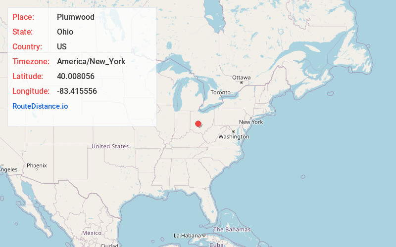
Full AddressPlumwood, OH 43140
-
Coordinates40.008056, -83.415556
-
LocationPlumwood , Ohio , US
-
TimezoneAmerica/New_York
-
Current Local Time9:45:49 PM America/New_YorkWednesday, June 25, 2025
-
Page Views0
About Plumwood
Plumwood is an unincorporated community and census-designated place in central Monroe Township, Madison County, Ohio, United States. As of the 2020 census, the population was 257.
Nearby Places
Found 10 places within 50 miles

Choctaw Lake
4.9 mi
7.9 km
Choctaw Lake, OH 43140
Get directions

London
8.6 mi
13.8 km
London, OH 43140
Get directions

Mechanicsburg
8.7 mi
14.0 km
Mechanicsburg, OH 43044
Get directions

West Jefferson
8.9 mi
14.3 km
West Jefferson, OH
Get directions

Plain City
10.4 mi
16.7 km
Plain City, OH 43064
Get directions
Lake Darby
10.5 mi
16.9 km
Lake Darby, OH 43119
Get directions

South Vienna
11.8 mi
19.0 km
South Vienna, OH 45369
Get directions

Milford Center
11.8 mi
19.0 km
Milford Center, OH
Get directions

Hilliard
13.7 mi
22.0 km
Hilliard, OH
Get directions
New California
13.9 mi
22.4 km
New California, OH 43064
Get directions
Location Links
Local Weather
Weather Information
Coming soon!
Location Map
Static map view of Plumwood, Ohio
Browse Places by Distance
Places within specific distances from Plumwood
Short Distances
Long Distances
Click any distance to see all places within that range from Plumwood. Distances shown in miles (1 mile ≈ 1.61 kilometers).