Distance to Morelos, Coahuila

Calculating Your Route
Just a moment while we process your request...
Location Information
-
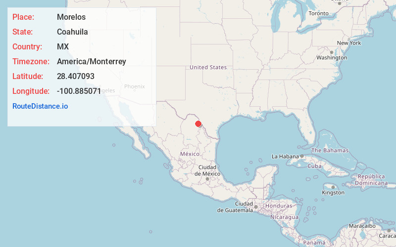
Full Address26500 Morelos, Coahuila, Mexico
-
Coordinates28.4070929, -100.8850709
-
LocationMorelos , Coahuila , MX
-
TimezoneAmerica/Monterrey
-
Current Local Time9:34:46 AM America/MonterreyFriday, May 23, 2025
-
Page Views0
About Morelos
Morelos is a city and seat of the municipality of Morelos, in the north-eastern Mexican state of Coahuila.


Nearby Places
Found 10 places within 50 miles

Eidson Road
30.5 mi
49.1 km
Eidson Road, TX 78852
Get directions

Eagle Pass
31.4 mi
50.5 km
Eagle Pass, TX 78852
Get directions
Las Quintas Fronterizas
32.0 mi
51.5 km
Las Quintas Fronterizas, TX 78852
Get directions
Rosita South
32.0 mi
51.5 km
Rosita South, TX 78852
Get directions
Rosita North
32.8 mi
52.8 km
Rosita North, TX 78852
Get directions
Elm Creek
34.9 mi
56.2 km
Elm Creek, TX 78852
Get directions
El Indio
35.6 mi
57.3 km
El Indio, TX 78860
Get directions
Radar Base
37.9 mi
61.0 km
Radar Base, TX 78852
Get directions
Normandy
38.9 mi
62.6 km
Normandy, TX 78877
Get directions

Maverick County
39.8 mi
64.1 km
Maverick County, TX
Get directions
Location Links
Local Weather
Weather Information
Coming soon!
Location Map
Static map view of Morelos, Coahuila
Browse Places by Distance
Places within specific distances from Morelos
Short Distances
Long Distances
Click any distance to see all places within that range from Morelos. Distances shown in miles (1 mile ≈ 1.61 kilometers).