Distance to Normandy, Texas

Calculating Your Route
Just a moment while we process your request...
Location Information
-
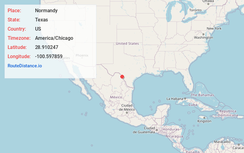
Full AddressNormandy, TX 78877
-
Coordinates28.9102466, -100.5978589
-
LocationNormandy , Texas , US
-
TimezoneAmerica/Chicago
-
Current Local Time1:12:19 PM America/ChicagoMonday, June 2, 2025
-
Page Views0
About Normandy
Normandy is an unincorporated community and census-designated place in Maverick County, Texas, United States. It was first listed as a CDP prior to the 2020 census.
It is in the northwestern part of the county, along U.S. Route 277 in the Rio Grande valley.
Nearby Places
Found 10 places within 50 miles

Quemado
3.1 mi
5.0 km
Quemado, TX 78877
Get directions

Radar Base
5.4 mi
8.7 km
Radar Base, TX 78852
Get directions
Elm Creek
11.4 mi
18.3 km
Elm Creek, TX 78852
Get directions

Eagle Pass
15.1 mi
24.3 km
Eagle Pass, TX 78852
Get directions
Las Quintas Fronterizas
17.1 mi
27.5 km
Las Quintas Fronterizas, TX 78852
Get directions
Eidson Road
18.2 mi
29.3 km
Eidson Road, TX 78852
Get directions
Rosita North
20.7 mi
33.3 km
Rosita North, TX 78852
Get directions
Rosita South
21.4 mi
34.4 km
Rosita South, TX 78852
Get directions

Spofford
21.4 mi
34.4 km
Spofford, TX 78832
Get directions

Brackettville
29.7 mi
47.8 km
Brackettville, TX 78832
Get directions
Location Links
Local Weather
Weather Information
Coming soon!
Location Map
Static map view of Normandy, Texas
Browse Places by Distance
Places within specific distances from Normandy
Short Distances
Long Distances
Click any distance to see all places within that range from Normandy. Distances shown in miles (1 mile ≈ 1.61 kilometers).