Distance to Morris, Alabama

Calculating Your Route
Just a moment while we process your request...
Location Information
-
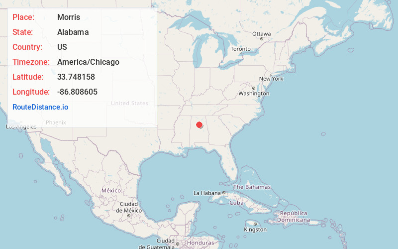
Full AddressMorris, AL
-
Coordinates33.7481576, -86.8086048
-
LocationMorris , Alabama , US
-
TimezoneAmerica/Chicago
-
Current Local Time9:26:06 PM America/ChicagoWednesday, June 18, 2025
-
Page Views0
About Morris
Morris is a town in Jefferson County, Alabama, United States. It is north of the Birmingham suburb of Gardendale. It initially incorporated on September 19, 1885. At some point after 1910, its incorporation lapsed and it failed to appear on the census rolls beginning in 1920 through to 1950.


Nearby Places
Found 10 places within 50 miles

Kimberly
1.8 mi
2.9 km
Kimberly, AL
Get directions

Warrior
4.6 mi
7.4 km
Warrior, AL
Get directions

Mt Olive
6.0 mi
9.7 km
Mt Olive, AL
Get directions

Gardendale
6.1 mi
9.8 km
Gardendale, AL
Get directions

Pinson
8.3 mi
13.4 km
Pinson, AL
Get directions

Fultondale
9.6 mi
15.4 km
Fultondale, AL
Get directions

Center Point
10.1 mi
16.3 km
Center Point, AL 35215
Get directions

Tarrant
11.3 mi
18.2 km
Tarrant, AL 35217
Get directions
Grayson Valley
11.9 mi
19.2 km
Grayson Valley, AL 35235
Get directions

Clay
12.4 mi
20.0 km
Clay, AL
Get directions
Location Links
Local Weather
Weather Information
Coming soon!
Location Map
Static map view of Morris, Alabama
Browse Places by Distance
Places within specific distances from Morris
Short Distances
Long Distances
Click any distance to see all places within that range from Morris. Distances shown in miles (1 mile ≈ 1.61 kilometers).