Distance to Morris Fork, Kentucky

Calculating Your Route
Just a moment while we process your request...
Location Information
-
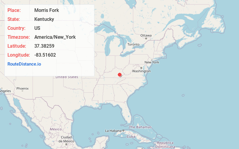
Full AddressMorris Fork, KY 41721
-
Coordinates37.3825901, -83.5160195
-
LocationMorris Fork , Kentucky , US
-
TimezoneAmerica/New_York
-
Current Local Time11:37:46 PM America/New_YorkSaturday, June 21, 2025
-
Page Views0
About Morris Fork
Morris Fork is an unincorporated community in Breathitt County, Kentucky. Morris Fork is 3.2 miles northwest of Buckhorn. The Morris Fork Presbyterian Church and Community Center, which is listed on the National Register of Historic Places, is located in Morris Fork.

Nearby Places
Found 10 places within 50 miles

Lucky Fork
3.1 mi
5.0 km
Lucky Fork, KY 41721
Get directions
Buckhorn
3.2 mi
5.1 km
Buckhorn, KY 41721
Get directions
Talbert
4.1 mi
6.6 km
Talbert, KY 41339
Get directions
Houston
4.4 mi
7.1 km
Houston, KY 41314
Get directions
Beech
4.9 mi
7.9 km
Beech, KY 41339
Get directions
Ricetown
5.9 mi
9.5 km
Ricetown, KY 41364
Get directions

Canoe
5.9 mi
9.5 km
Canoe, KY 41339
Get directions
Gays Creek
6.1 mi
9.8 km
Gays Creek, KY 41745
Get directions
Mistletoe
6.4 mi
10.3 km
Mistletoe, KY 40972
Get directions
Cowcreek
6.5 mi
10.5 km
Cowcreek, KY 41314
Get directions
Location Links
Local Weather
Weather Information
Coming soon!
Location Map
Static map view of Morris Fork, Kentucky
Browse Places by Distance
Places within specific distances from Morris Fork
Short Distances
Long Distances
Click any distance to see all places within that range from Morris Fork. Distances shown in miles (1 mile ≈ 1.61 kilometers).