Distance to Morristown Township, Minnesota

Calculating Your Route
Just a moment while we process your request...
Location Information
-
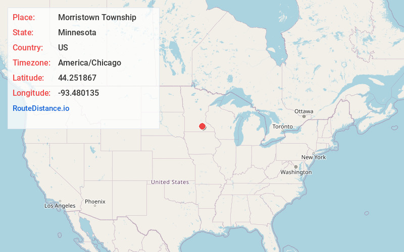
Full AddressMorristown Township, MN
-
Coordinates44.251867, -93.4801349
-
LocationMorristown Township , Minnesota , US
-
TimezoneAmerica/Chicago
-
Current Local Time9:05:26 AM America/ChicagoMonday, June 2, 2025
-
Page Views0
About Morristown Township
Morristown Township is a township in Rice County, Minnesota, United States. The population was 665 at the 2000 census.
Morristown is located within Morristown Township geographically but is a separate entity.
Morristown Township was organized in 1858, and named for Jonathan Morris, a pioneer settler.

Nearby Places
Found 10 places within 50 miles

Morristown
2.4 mi
3.9 km
Morristown, MN 55052
Get directions

Warsaw
4.3 mi
6.9 km
Warsaw, MN
Get directions

Waterville
4.9 mi
7.9 km
Waterville, MN 56096
Get directions
Shieldsville Township
5.2 mi
8.4 km
Shieldsville Township, MN
Get directions
Kilkenny
6.3 mi
10.1 km
Kilkenny, MN
Get directions

Blooming Grove Township
7.9 mi
12.7 km
Blooming Grove Township, MN
Get directions
Deerfield
8.3 mi
13.4 km
Deerfield, MN 56093
Get directions

Shieldsville
8.6 mi
13.8 km
Shieldsville, MN 55021
Get directions
Doyle
9.4 mi
15.1 km
Doyle, Kilkenny Township, MN 56069
Get directions

Elysian
10.3 mi
16.6 km
Elysian, MN 56028
Get directions
Location Links
Local Weather
Weather Information
Coming soon!
Location Map
Static map view of Morristown Township, Minnesota
Browse Places by Distance
Places within specific distances from Morristown Township
Short Distances
Long Distances
Click any distance to see all places within that range from Morristown Township. Distances shown in miles (1 mile ≈ 1.61 kilometers).