Distance to Shieldsville Township, Minnesota

Calculating Your Route
Just a moment while we process your request...
Location Information
-
Full AddressShieldsville Township, MN
-
Coordinates44.3275274, -93.4801349
-
LocationShieldsville Township , Minnesota , US
-
TimezoneAmerica/Chicago
-
Current Local Time9:46:48 AM America/ChicagoThursday, June 12, 2025
-
Page Views0
About Shieldsville Township
Shieldsville Township is a township in Rice County, Minnesota, United States. The population was 1,153 at the 2000 census.
The unincorporated community of Shieldsville is located within the township.
Settled in the 1850s, Shieldsville Township was named for James Shields, an American politician and U.S. Army officer.
Nearby Places
Found 10 places within 50 miles

Shieldsville
4.4 mi
7.1 km
Shieldsville, MN 55021
Get directions

Kilkenny
4.7 mi
7.6 km
Kilkenny, MN
Get directions
Doyle
5.5 mi
8.9 km
Doyle, Kilkenny Township, MN 56069
Get directions
Warsaw
6.9 mi
11.1 km
Warsaw, MN
Get directions

Morristown
7.2 mi
11.6 km
Morristown, MN 55052
Get directions

Waterville
8.7 mi
14.0 km
Waterville, MN 56096
Get directions

Montgomery
9.1 mi
14.6 km
Montgomery, MN 56069
Get directions
Wheatland
9.5 mi
15.3 km
Wheatland, MN 56069
Get directions
Cordova
9.5 mi
15.3 km
Cordova, MN 56057
Get directions
Millersburg
10.1 mi
16.3 km
Millersburg, Forest Township, MN 55021
Get directions
Location Links
Local Weather
Weather Information
Coming soon!
Location Map
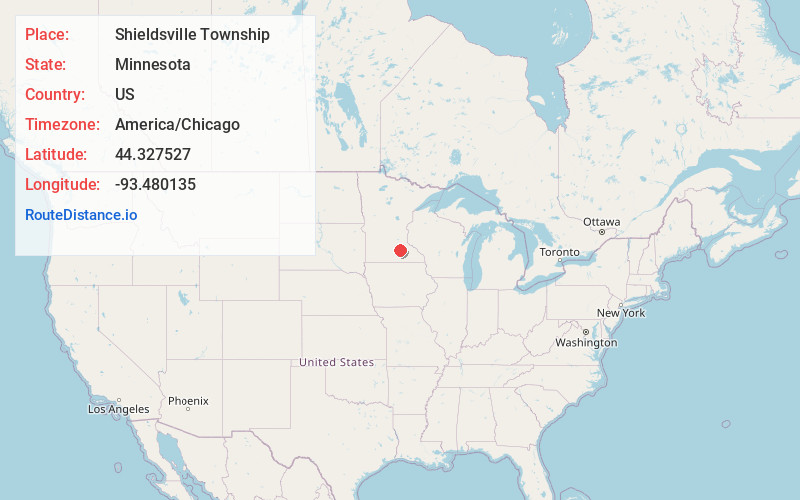
Static map view of Shieldsville Township, Minnesota
Browse Places by Distance
Places within specific distances from Shieldsville Township
Short Distances
Long Distances
Click any distance to see all places within that range from Shieldsville Township. Distances shown in miles (1 mile ≈ 1.61 kilometers).