Distance to Mount Mitchell State Park, North Carolina

Calculating Your Route
Just a moment while we process your request...
Location Information
-
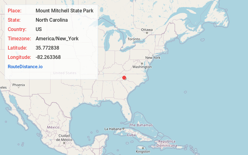
Full AddressMount Mitchell State Park, 2388 NC-128, Burnsville, NC 28714
-
Coordinates35.7728376, -82.2633677
-
Street2388 NC-128
-
LocationBurnsville , North Carolina , US
-
TimezoneAmerica/New_York
-
Current Local Time12:59:52 PM America/New_YorkThursday, June 5, 2025
-
Page Views0
About Mount Mitchell State Park
1,946-acre park on the highest peak east of the Mississippi, with camping, hiking & panoramic views.


Nearby Places
Found 10 places within 50 miles

Mt Mitchell
0.5 mi
0.8 km
Mt Mitchell, North Carolina 28714
Get directions

Eskota
3.0 mi
4.8 km
Eskota, NC 28714
Get directions
Hamrick
4.4 mi
7.1 km
Hamrick, NC 28714
Get directions
Murchison
4.9 mi
7.9 km
Murchison, NC 28714
Get directions

Pisgah National Forest
5.0 mi
8.0 km
Pisgah National Forest, North Carolina
Get directions

Pensacola
5.8 mi
9.3 km
Pensacola, NC 28714
Get directions
Bowlens Creek
7.4 mi
11.9 km
Bowlens Creek, NC 28714
Get directions

Sunnyvale
7.5 mi
12.1 km
Sunnyvale, NC 28752
Get directions
Graphite
7.8 mi
12.6 km
Graphite, NC 28762
Get directions
Bowditch
8.1 mi
13.0 km
Bowditch, NC 28714
Get directions
Location Links
Local Weather
Weather Information
Coming soon!
Location Map
Static map view of Mount Mitchell State Park, North Carolina
Browse Places by Distance
Places within specific distances from Mount Mitchell State Park
Short Distances
Long Distances
Click any distance to see all places within that range from Mount Mitchell State Park. Distances shown in miles (1 mile ≈ 1.61 kilometers).