Distance to Mt Aire, Utah

Calculating Your Route
Just a moment while we process your request...
Location Information
-
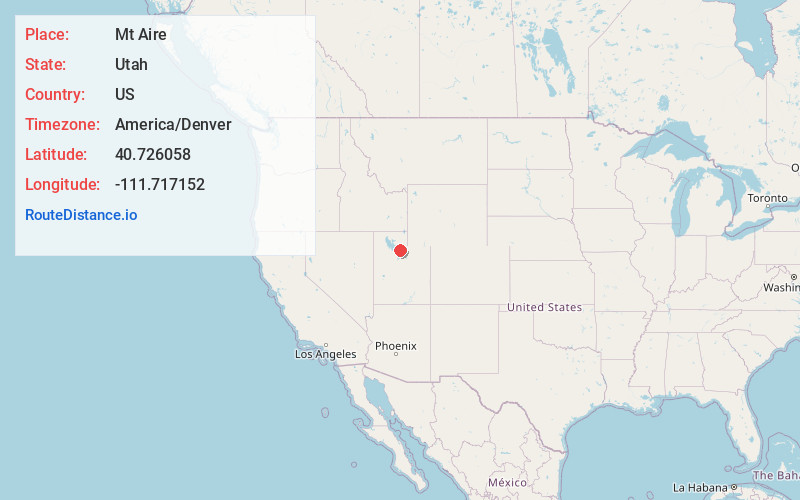
Full AddressMt Aire, UT 84109
-
Coordinates40.7260583, -111.7171523
-
LocationUtah , US
-
TimezoneAmerica/Denver
-
Current Local Time3:33:28 PM America/DenverWednesday, June 18, 2025
-
Page Views0


Nearby Places
Found 10 places within 50 miles

Emigration Canyon
3.8 mi
6.1 km
Emigration Canyon, UT 84108
Get directions

Holladay
6.9 mi
11.1 km
Holladay, UT
Get directions

Millcreek
8.2 mi
13.2 km
Millcreek, UT
Get directions

South Salt Lake
9.0 mi
14.5 km
South Salt Lake, UT
Get directions

Cottonwood Heights
9.1 mi
14.6 km
Cottonwood Heights, UT
Get directions

Salt Lake City
9.3 mi
15.0 km
Salt Lake City, UT
Get directions

Murray
9.8 mi
15.8 km
Murray, UT
Get directions

Alta
10.4 mi
16.7 km
Alta, UT
Get directions

Snyderville
10.9 mi
17.5 km
Snyderville, UT 84098
Get directions

Brighton
11.0 mi
17.7 km
Brighton, UT
Get directions
Location Links
Local Weather
Weather Information
Coming soon!
Location Map
Static map view of Mt Aire, Utah
Browse Places by Distance
Places within specific distances from Mt Aire
Short Distances
Long Distances
Click any distance to see all places within that range from Mt Aire. Distances shown in miles (1 mile ≈ 1.61 kilometers).