Distance to Mt Auburn, Iowa

Calculating Your Route
Just a moment while we process your request...
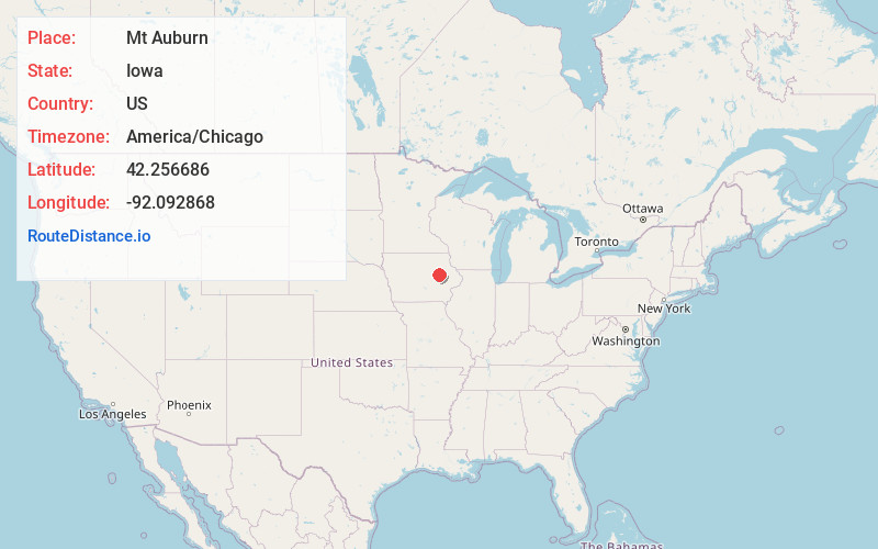
Location Information
-
Full AddressMt Auburn, IA 52313
-
Coordinates42.2566856, -92.0928678
-
LocationMt Auburn , Iowa , US
-
TimezoneAmerica/Chicago
-
Current Local Time2:24:34 PM America/ChicagoTuesday, June 24, 2025
-
Page Views0
About Mt Auburn
Mount Auburn is a city in Benton County, Iowa, United States. The population was 162 at the time of the 2020 census. It is part of the Cedar Rapids Metropolitan Statistical Area.
Nearby Places
Found 10 places within 50 miles

Brandon
6.1 mi
9.8 km
Brandon, IA 52210
Get directions

La Porte City
6.5 mi
10.5 km
La Porte City, IA 50651
Get directions

Vinton
7.4 mi
11.9 km
Vinton, IA 52349
Get directions

Garrison
8.2 mi
13.2 km
Garrison, IA 52229
Get directions

Urbana
11.4 mi
18.3 km
Urbana, IA
Get directions
Dysart
12.4 mi
20.0 km
Dysart, IA 52224
Get directions
Gilbertville
12.7 mi
20.4 km
Gilbertville, IA
Get directions
Washburn
13.9 mi
22.4 km
Washburn, IA
Get directions
Rowley
14.9 mi
24.0 km
Rowley, IA 52329
Get directions
Jesup
15.2 mi
24.5 km
Jesup, IA 50648
Get directions
Location Links
Local Weather
Weather Information
Coming soon!
Location Map
Static map view of Mt Auburn, Iowa
Browse Places by Distance
Places within specific distances from Mt Auburn
Short Distances
Long Distances
Click any distance to see all places within that range from Mt Auburn. Distances shown in miles (1 mile ≈ 1.61 kilometers).