Distance to Mt Ida, Wisconsin

Calculating Your Route
Just a moment while we process your request...
Location Information
-
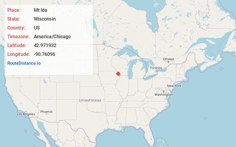
Full AddressMt Ida, WI 53809
-
Coordinates42.9719319, -90.76096
-
LocationMt Ida , Wisconsin , US
-
TimezoneAmerica/Chicago
-
Current Local Time8:15:24 PM America/ChicagoSunday, June 22, 2025
-
Page Views0
About Mt Ida
Mount Ida is a town in Grant County, Wisconsin, United States. The population was 568 at the 2018 census. The unincorporated communities of Mount Ida and Werley are located in the town.
Nearby Places
Found 10 places within 50 miles

Shady Dell
1.8 mi
2.9 km
Shady Dell, Mt Hope, WI 53816
Get directions
Werley
3.3 mi
5.3 km
Werley, WI 53809
Get directions

Mt Hope
5.0 mi
8.0 km
Mt Hope, WI 53816
Get directions

Fennimore
5.4 mi
8.7 km
Fennimore, WI 53809
Get directions
Stitzer
7.6 mi
12.2 km
Stitzer, WI 53825
Get directions

Woodman
8.4 mi
13.5 km
Woodman, WI
Get directions

Lancaster
9.0 mi
14.5 km
Lancaster, WI 53813
Get directions
Millville
9.5 mi
15.3 km
Millville, WI 53816
Get directions

Boydtown
9.8 mi
15.8 km
Boydtown, Marietta, WI 53826
Get directions

Wauzeka
10.0 mi
16.1 km
Wauzeka, WI 53826
Get directions
Location Links
Local Weather
Weather Information
Coming soon!
Location Map
Static map view of Mt Ida, Wisconsin
Browse Places by Distance
Places within specific distances from Mt Ida
Short Distances
Long Distances
Click any distance to see all places within that range from Mt Ida. Distances shown in miles (1 mile ≈ 1.61 kilometers).