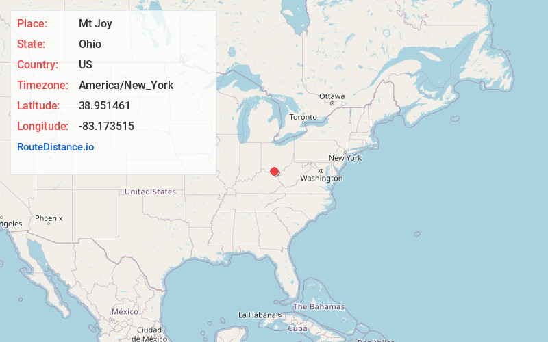
Distance to Mt Joy, Ohio

Calculating Your Route
Just a moment while we process your request...
Location Information
-
Full AddressMt Joy, Rarden Township, OH 45657
-
Coordinates38.9514606, -83.1735154
-
LocationRarden Township , Ohio , US
-
TimezoneAmerica/New_York
-
Current Local Time7:54:38 PM America/New_YorkThursday, June 19, 2025
-
Page Views0
Nearby Places
Found 10 places within 50 miles

Sedan
3.0 mi
4.8 km
Sedan, Morgan Township, OH 45648
Get directions

Rarden
4.2 mi
6.8 km
Rarden, OH
Get directions

Otway
5.9 mi
9.5 km
Otway, OH 45657
Get directions

McDermott
10.0 mi
16.1 km
McDermott, OH 45652
Get directions

Lucasville
10.7 mi
17.2 km
Lucasville, OH 45648
Get directions

Piketon
11.7 mi
18.8 km
Piketon, OH 45661
Get directions

Peebles
12.5 mi
20.1 km
Peebles, OH 45660
Get directions
Scrub Ridge
13.2 mi
21.2 km
Scrub Ridge, Meigs Township, OH 45616
Get directions
Rehm
13.8 mi
22.2 km
Rehm, Seal Township, OH 45690
Get directions
Lapperell Hollow
13.9 mi
22.4 km
Lapperell Hollow, Mifflin Township, OH 45660
Get directions
Location Links
Local Weather
Weather Information
Coming soon!
Location Map
Static map view of Mt Joy, Ohio
Browse Places by Distance
Places within specific distances from Mt Joy
Short Distances
Long Distances
Click any distance to see all places within that range from Mt Joy. Distances shown in miles (1 mile ≈ 1.61 kilometers).