Distance to Mt Pisgah, South Carolina

Calculating Your Route
Just a moment while we process your request...
Location Information
-
Full AddressMt Pisgah, SC 29067
-
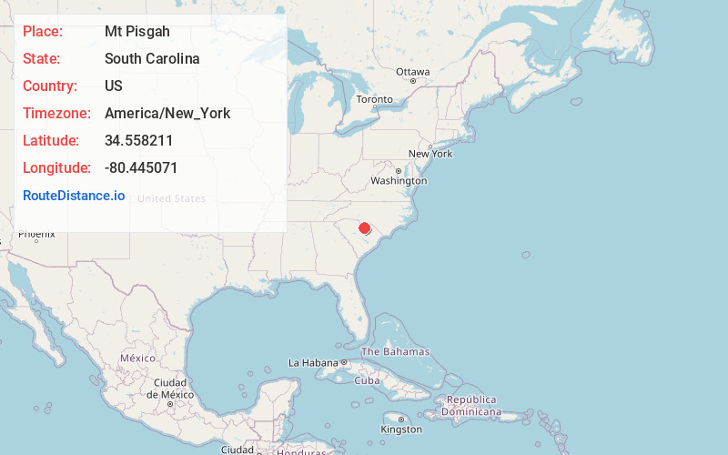
Coordinates34.5582108, -80.4450709
-
LocationMt Pisgah , South Carolina , US
-
TimezoneAmerica/New_York
-
Current Local Time2:53:04 PM America/New_YorkTuesday, June 24, 2025
-
Page Views0
Nearby Places
Found 10 places within 50 miles

Minton Mill
4.1 mi
6.6 km
Minton Mill, SC 29009
Get directions
Birdtown
5.0 mi
8.0 km
Birdtown, SC 29067
Get directions
Abney Crossroads
5.2 mi
8.4 km
Abney Crossroads, SC 29067
Get directions
Kirkley Mill
5.7 mi
9.2 km
Kirkley Mill, SC 29067
Get directions
Barfield Mill
7.0 mi
11.3 km
Barfield Mill, SC 29067
Get directions

Jefferson
7.1 mi
11.4 km
Jefferson, SC 29718
Get directions
Angelus
7.6 mi
12.2 km
Angelus, SC 29718
Get directions

Kershaw
7.9 mi
12.7 km
Kershaw, SC 29067
Get directions
White Bluff Crossroads
9.6 mi
15.4 km
White Bluff Crossroads, SC 29067
Get directions
Taxahaw
10.0 mi
16.1 km
Taxahaw, SC 29720
Get directions
Location Links
Local Weather
Weather Information
Coming soon!
Location Map
Static map view of Mt Pisgah, South Carolina
Browse Places by Distance
Places within specific distances from Mt Pisgah
Short Distances
Long Distances
Click any distance to see all places within that range from Mt Pisgah. Distances shown in miles (1 mile ≈ 1.61 kilometers).